
1917 Map of Kerby
USGS Topo · Published 1927About this map
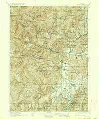
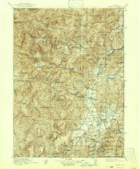
Siskiyou National Forest dominates this terrain, where the early twentieth-century extractive economy is etched into the landscape of the Klamath Mountains. The survey, conducted primarily in 1915, centers on the Illinois River valley and its mining-dependent settlements. Placer and lode mining are evident throughout the southern reaches, specifically around Waldo and Takilma, where operations like the Queen of Bronze Mine and Waldo Mine once operated.
Find a feature on this map
114 named features on this map. Tap any name to fly to it.
Don’t see what you’re looking for? This feature index may not catch every label — zoom into the map to look around manually.
Map Details
Editions of this 1917 Kerby Map
3 editions found
Other maps of this area

1899 · Port Orford
USGS Topo · 1:125,000

1903 · Port Orford
USGS Topo · 1:125,000

1904 · Riddle
USGS Topo · 1:125,000

1908 · Grants Pass
USGS Topo · 1:125,000

1914 · Seiad
USGS Topo · 1:125,000

1918 · Kerby
USGS Topo · 1:125,000

1922 · Preston Peak
USGS Topo · 1:125,000

1922 · Seiad
USGS Topo · 1:125,000

1929 · Crescent City
USGS Topo · 1:125,000

1945 · Kerby
USGS Topo · 1:125,000