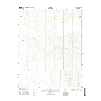
2017 Map of Kerlin Hill
USGS Topo · Published 2017About this map
Kerlin Hill rises as the central topographic feature in this high plains landscape situated along the border of Union and Quay counties. The terrain is defined by a series of intermittent watercourses and drainages, including South Fullingim Draw in the northeast and Minneosa Creek which cuts through the central section. Human presence is marked by a rigid grid of rural roads and section lines, such as Q R 101 and Quay Road L, indicating a landscape partitioned for ranching or large-scale agriculture. The presence of Logan Tank suggests the importance of water management in this arid environment, while the West Fork Nara Visa Arroyo drains the southern reaches of the quadrangle. This map captures the intersection of natural drainage patterns and the systematic human organization of the New Mexico plains.
Find a feature on this map
22 named features on this map. Tap any name to fly to it.
Don’t see what you’re looking for? This feature index may not catch every label — zoom into the map to look around manually.
Map Details
Editions of this 2017 Kerlin Hill Map
This is the sole edition of this map. No revisions or reprints were ever made.
Other maps of this area

1954 · Tucumcari
USGS Topo · 1:250,000

1958 · Tucumcari
USGS Topo · 1:250,000

1966 · Ione
USGS Topo · 1:24,000

1966 · Cherokee Valley
USGS Topo · 1:24,000

1966 · Lockney
USGS Topo · 1:24,000

1971 · Kerlin Hill
USGS Topo · 1:24,000

1971 · Centerville Corner
USGS Topo · 1:24,000

1971 · Doyle Hill
USGS Topo · 1:24,000

1971 · Amistad SE
USGS Topo · 1:24,000

1971 · Obar
USGS Topo · 1:24,000