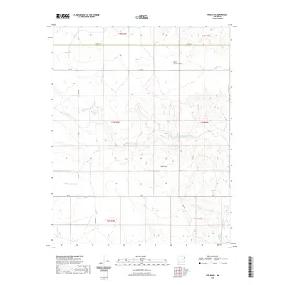
2020 Map of Kerlin Hill
USGS Topo · Published 2020About this map
Kerlin Hill stands as the central topographic landmark in this high plains landscape of northeastern New Mexico, where the boundary between Union Co and Quay Co divides the terrain. The area is defined by a network of drainage systems, most notably Minneosa Creek and the West Fork Nara Visa Arroyo, which carve through the land alongside South Fullingim Draw. Human presence is marked by the remote Logan Tank and a grid of rural routes including Q R 101 and Quay Road L. The map captures the distinct Public Land Survey System (PLSS) divisions across multiple townships, reflecting the late 20th and early 21st-century ranching infrastructure of this sparsely populated border region.
Find a feature on this map
22 named features on this map. Tap any name to fly to it.
Don’t see what you’re looking for? This feature index may not catch every label — zoom into the map to look around manually.
Map Details
Editions of this 2020 Kerlin Hill Map
This is the sole edition of this map. No revisions or reprints were ever made.
Other maps of this area

1954 · Tucumcari
USGS Topo · 1:250,000

1958 · Tucumcari
USGS Topo · 1:250,000

1966 · Ione
USGS Topo · 1:24,000

1966 · Cherokee Valley
USGS Topo · 1:24,000

1966 · Lockney
USGS Topo · 1:24,000

1971 · Kerlin Hill
USGS Topo · 1:24,000

1971 · Centerville Corner
USGS Topo · 1:24,000

1971 · Doyle Hill
USGS Topo · 1:24,000

1971 · Amistad SE
USGS Topo · 1:24,000

1971 · Obar
USGS Topo · 1:24,000