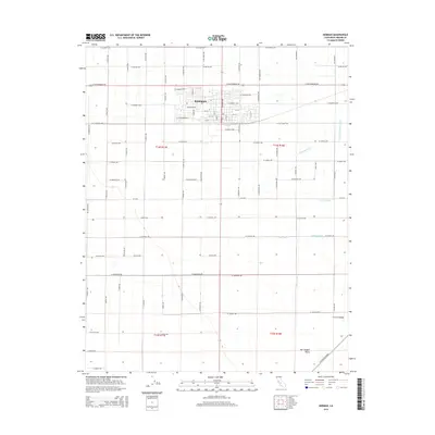
2015 Map of Kerman
USGS Topo · Published 2015About this map
Kerman stands at the heart of this agricultural landscape in the Central Valley, where a meticulously planned grid of rural roads and irrigation channels defines the terrain. The town's residential core is centered around streets like W Kearney Blvd and Orchard Way, reflecting its identity as a hub for the surrounding farms. This 2015 survey illustrates the complex water management systems essential to the San Joaquin Valley, featuring numerous named waterways such as the Thompson Extension Canal, Deadwood Ditch, and Dry Cr Canal. These channels, alongside drainage features like Blan Waste and Dickenson Waste, demonstrate the infrastructure required to sustain the region's productive orchards and fields. The map captures the interface between growing suburban developments and the vast network of section lines that characterize this part of Fresno County.
Find a feature on this map
70 named features on this map. Tap any name to fly to it.
Don’t see what you’re looking for? This feature index may not catch every label — zoom into the map to look around manually.
Map Details
Editions of this 2015 Kerman Map
This is the sole edition of this map. No revisions or reprints were ever made.
Other maps of this area

1923 · Kearney Park
USGS Topo · 1:31,680

1923 · Herndon
USGS Topo · 1:31,680

1923 · Biola
USGS Topo · 1:31,680

1924 · Jamesan
USGS Topo · 1:31,680

1924 · Gravelly Ford
USGS Topo · 1:31,680

1925 · Helm
USGS Topo · 1:31,680

1925 · San Joaquin
USGS Topo · 1:31,680

1925 · Raisin
USGS Topo · 1:31,680
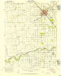
1946 · Madera
USGS Topo · 1:62,500
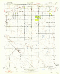
1946 · Kearney Park
USGS Topo · 1:24,000