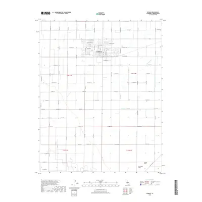
2018 Map of Kerman
USGS Topo · Published 2018About this map
Kerman serves as a primary hub for this agricultural portion of the San Joaquin Valley, displaying a dense grid of streets organized around its center. The map details a landscape deeply influenced by irrigation and water management, where the surrounding Central Valley is crisscrossed by a complex network of artificial waterways. Notable man-made features such as the Deadwood Ditch, the Thompson Extension Canal, and the Dry Cr Canal illustrate the engineering required to sustain the region's farms. Smaller infrastructure like the Blan Waste and Diekenson Waste further demonstrate the granular control over drainage and irrigation. The rectilinear road layout, defined by corridors like W Kearney Blvd and W California Ave, reflects the systematic sectioning of the land typical of this productive California interior.
Find a feature on this map
74 named features on this map. Tap any name to fly to it.
Don’t see what you’re looking for? This feature index may not catch every label — zoom into the map to look around manually.
Map Details
Editions of this 2018 Kerman Map
This is the sole edition of this map. No revisions or reprints were ever made.
Other maps of this area

1923 · Kearney Park
USGS Topo · 1:31,680

1923 · Herndon
USGS Topo · 1:31,680

1923 · Biola
USGS Topo · 1:31,680

1924 · Jamesan
USGS Topo · 1:31,680

1924 · Gravelly Ford
USGS Topo · 1:31,680

1925 · Helm
USGS Topo · 1:31,680

1925 · San Joaquin
USGS Topo · 1:31,680

1925 · Raisin
USGS Topo · 1:31,680
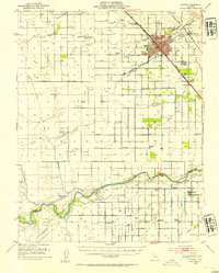
1946 · Madera
USGS Topo · 1:62,500
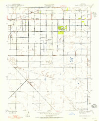
1946 · Kearney Park
USGS Topo · 1:24,000