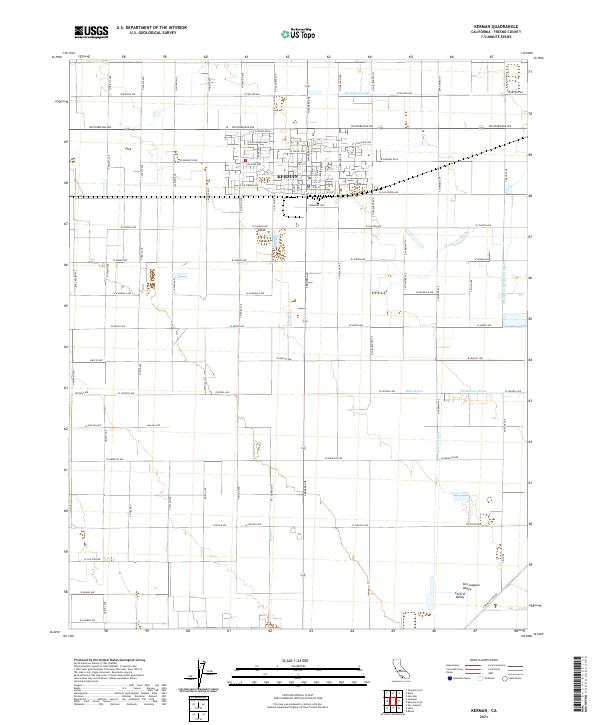
2021 Map of Kerman
USGS Topo · Published 2021About this map
Kerman serves as the primary hub of this agricultural landscape in the Central Valley, where the town's grid is defined by a dense network of residential and commercial streets south of Whitesbridge Avenue. The surrounding San Joaquin Valley terrain is meticulously partitioned by a complex irrigation system essential to its productivity. Water management is the dominant feature of the local infrastructure, with the Houghton Canal and Deadwood Ditch traversing the northern and eastern reaches. Further south, the Thompson Extension Canal and Dry Cr Canal support the surrounding farmland, while specialized drainage points like Blan Waste and Dickenson Waste highlight the engineered nature of this fertile region. The map reveals a highly structured environment where rural roads like S McMullin Grade connect isolated farmsteads to the central community.
Find a feature on this map
75 named features on this map. Tap any name to fly to it.
Don’t see what you’re looking for? This feature index may not catch every label — zoom into the map to look around manually.
Map Details
Editions of this 2021 Kerman Map
This is the sole edition of this map. No revisions or reprints were ever made.
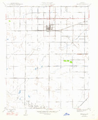
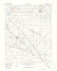
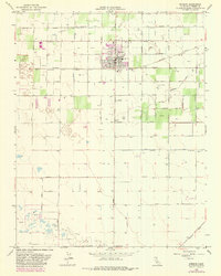
Historical Maps of Kerman Through Time
4 maps found