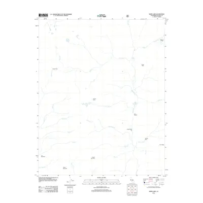
2012 Map of Kern Lake
USGS Topo · Published 2012About this map
Kern River flows through the center of this high-elevation landscape, carving the deep Kern Canyon and feeding both Kern Lake and Little Kern Lake. The terrain is defined by dramatic geological features, including the Natural Bridge in the northeast and Volcano Falls along Golden Trout Cr. Settlement is sparse in this 2012 survey, with Lion Meadows serving as one of the few named clearings in a region dominated by towering peaks like Angora Mountain, White Mountain, and the Coyote Peaks.
Find a feature on this map
32 named features on this map. Tap any name to fly to it.
Don’t see what you’re looking for? This feature index may not catch every label — zoom into the map to look around manually.
Map Details
Editions of this 2012 Kern Lake Map
This is the sole edition of this map. No revisions or reprints were ever made.
Other maps of this area

1904 · Kaweah
USGS Topo · 1:125,000

1905 · Olancha
USGS Topo · 1:125,000

1907 · Olancha
USGS Topo · 1:125,000

1909 · Kaweah
USGS Topo · 1:125,000

1937 · Kaweah
USGS Topo · 1:125,000

1948 · Fresno
USGS Topo · 1:250,000

1955 · Fresno
USGS Topo · 1:250,000

1956 · Fresno
USGS Topo · 1:250,000

1956 · Hockett Peak
USGS Topo · 1:62,500

1956 · Mineral King
USGS Topo · 1:62,500