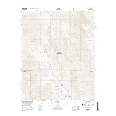
2015 Map of Kernville
USGS Topo · Published 2015About this map
The Kern River carves a deep valley through the southern Sierra Nevada, creating a corridor for settlement and recreation within the Sequoia National Forest. In this 2015 survey, the community of Kernville serves as the primary hub, situated near the southern edge where Sirretta St and Scodie Ave define the local street grid. Further north along Sierra Way, the smaller clusters of Riverkern and Camp Owens sit near the riverbanks, illustrating the valley's narrow habitable footprint between the steep rises of Powers Peak and Split Mtn. The landscape is defined by rugged drainage systems like Stormy Canyon, Chico Canyon, and Dark Canyon, which feed into the main river channel. Local landmarks such as Chico Flat and Funnel Spring offer specific points of interest for those tracking the geographic development of this mountain region.
Find a feature on this map
28 named features on this map. Tap any name to fly to it.
Don’t see what you’re looking for? This feature index may not catch every label — zoom into the map to look around manually.
Map Details
Editions of this 2015 Kernville Map
This is the sole edition of this map. No revisions or reprints were ever made.
Other maps of this area

1905 · Fairview
USGS Topo · 1:24,000

1906 · Kernville
USGS Topo · 1:125,000

1908 · Kernville
USGS Topo · 1:125,000

1918 · Fairview
USGS Topo · 1:31,680

1920 · Delonagha
USGS Topo · 1:62,500

1926 · Glennville
USGS Topo · 1:62,500

1936 · Tobias Peak
USGS Topo · 1:125,000

1943 · Tobias Peak
USGS Topo · 1:125,000

1943 · Isabella
USGS Topo · 1:62,500

1945 · Tobias Peak
USGS Topo · 1:62,500