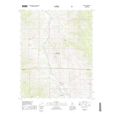
2018 Map of Kernville
USGS Topo · Published 2018About this map
The Kern River flows through this 2018 survey, marking a central corridor where the southern Sierra Nevada terrain meets developed settlements. In the southern portion of the map, the community of Kernville serves as a primary hub, situated near the transition from mountainous forest lands to the river valley. The landscape is defined by the sharp descent of drainages such as Stormy Canyon and Dark Canyon which feed into the river basin from the west.
Find a feature on this map
31 named features on this map. Tap any name to fly to it.
Don’t see what you’re looking for? This feature index may not catch every label — zoom into the map to look around manually.
Map Details
Editions of this 2018 Kernville Map
This is the sole edition of this map. No revisions or reprints were ever made.
Other maps of this area

1905 · Fairview
USGS Topo · 1:24,000

1906 · Kernville
USGS Topo · 1:125,000

1908 · Kernville
USGS Topo · 1:125,000

1918 · Fairview
USGS Topo · 1:31,680

1920 · Delonagha
USGS Topo · 1:62,500

1926 · Glennville
USGS Topo · 1:62,500

1936 · Tobias Peak
USGS Topo · 1:125,000

1943 · Tobias Peak
USGS Topo · 1:125,000

1943 · Isabella
USGS Topo · 1:62,500

1945 · Tobias Peak
USGS Topo · 1:62,500