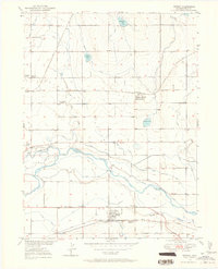
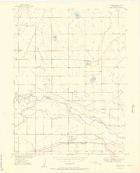
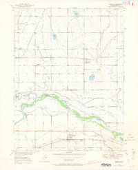
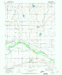
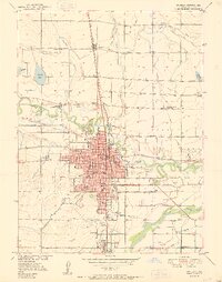
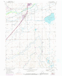
1950 Map of Kersey
USGS Topo · Published 1964About this map
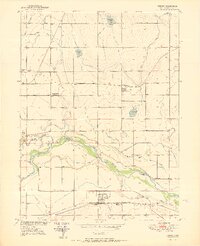
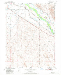
The South Platte River and Cache La Poudre River converge in this mid-century survey of the Colorado plains, defining a landscape dominated by an intricate irrigation network. Extensive waterways like the Eaton Ditch, Latham Ditch, and Ogilvy Ditch crisscross the terrain to support local agriculture. The town of Kersey and the smaller Spanish Village sit along the Union Pacific rail line, while Gill and Cloverly anchor the northern reaches. This 1950 mapping records the specific placement of rural education centers such as Peter Brown School and Lone Tree Sch, alongside family-named landmarks like Darling Ranch. Between the river forks lies a unique terrain feature known as the Delta, illustrating the complex drainage patterns before further modern development altered the riverbank structures and numerous gravel pits of the era.
Find a feature on this map
38 named features on this map. Tap any name to fly to it.
Don’t see what you’re looking for? This feature index may not catch every label — zoom into the map to look around manually.
Map Details
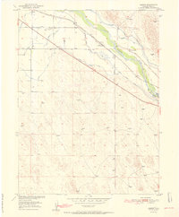
Editions of this 1950 Kersey Map
5 editions found
Other maps of this area

1902 · Greeley
USGS Topo · 1:125,000

1908 · Eaton
USGS Topo · 1:125,000

1910 · Eaton
USGS Topo · 1:125,000
1950 · Greeley
USGS Topo · 1:24,000
1950 · Kersey
USGS Topo · 1:24,000

1950 · Barnesville
USGS Topo · 1:24,000
1950 · Valley View School
USGS Topo · 1:24,000
1950 · Hardin
USGS Topo · 1:24,000
1950 · La Salle
USGS Topo · 1:24,000
1951 · Hardin
USGS Topo · 1:24,000