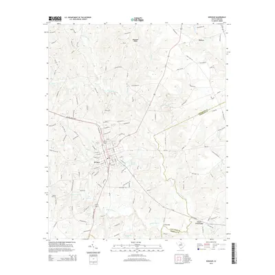
2014 Map of Kershaw
USGS Topo · Published 2014About this map
Kershaw serves as the primary hub of this landscape, situated along the Lancaster Co Kershaw Co line. The town's grid is dense with residential and commercial corridors, supported by water infrastructure like the City Reservoir and industrial vestiges near the Little Lynches River. Rural outposts such as Abney Crossroads, Pleasant Plain, and Midway anchor the surrounding countryside, connected by a network of winding county roads like Hanging Rock Church Rd and the Kershaw Camden Hwy.
Find a feature on this map
124 named features on this map. Tap any name to fly to it.
Don’t see what you’re looking for? This feature index may not catch every label — zoom into the map to look around manually.
Map Details
Editions of this 2014 Kershaw Map
This is the sole edition of this map. No revisions or reprints were ever made.
Other maps of this area

1935 · Camden
USGS Topo · 1:48,000

1938 · Camden
USGS Topo · 1:62,500

1941 · Spartanburg
USGS Topo · 1:250,000

1942 · Camden
USGS Topo · 1:125,000

1953 · Spartanburg
USGS Topo · 1:250,000

1960 · Spartanburg
USGS Topo · 1:250,000

1963 · Spartanburg
USGS Topo · 1:250,000

1964 · Spartanburg
USGS Topo · 1:250,000

1967 · Mount Pisgah
USGS Topo · 1:24,000

1968 · Heath Springs
USGS Topo · 1:24,000