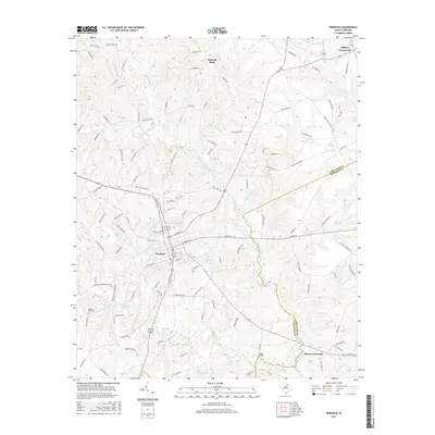
2017 Map of Kershaw
USGS Topo · Published 2017About this map
Kershaw serves as the central hub of this South Carolina landscape, straddling the line between Lancaster and Kershaw counties. The town's grid is bisected by Railroad Ave, reflecting its historic dependence on rail transport for moving local goods. The surrounding countryside is defined by a dense network of watercourses, including the Little Lynches River and its various tributaries like Haile Gold Mine Cr and Camp Br. These streams cut through the terrain, punctuated by landmarks such as the distinctive Hanging Rock and the nearby Hanging Rock Cem.
Find a feature on this map
117 named features on this map. Tap any name to fly to it.
Don’t see what you’re looking for? This feature index may not catch every label — zoom into the map to look around manually.
Map Details
Editions of this 2017 Kershaw Map
This is the sole edition of this map. No revisions or reprints were ever made.
Other maps of this area

1935 · Camden
USGS Topo · 1:48,000

1938 · Camden
USGS Topo · 1:62,500

1941 · Spartanburg
USGS Topo · 1:250,000

1942 · Camden
USGS Topo · 1:125,000

1953 · Spartanburg
USGS Topo · 1:250,000

1960 · Spartanburg
USGS Topo · 1:250,000

1963 · Spartanburg
USGS Topo · 1:250,000

1964 · Spartanburg
USGS Topo · 1:250,000

1967 · Mount Pisgah
USGS Topo · 1:24,000

1968 · Heath Springs
USGS Topo · 1:24,000