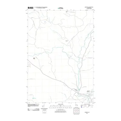
2010 Map of Keshena
USGS Topo · Published 2010About this map
The Wolf River defines this region of the Menominee Reservation, carving a path through the landscape marked by numerous dramatic cataracts including Big Eddy Falls, Beartrap Falls, and Wayka Falls. The settlement of Keshena serves as a primary hub near the southeastern corner of the map, situated where the river flows past Keshena Falls and towards Legend Lake. To the northwest, Middle Village provides a secondary point of habitation, connected by a network of rural roads such as Midway Rd and 24 Rd.
Find a feature on this map
38 named features on this map. Tap any name to fly to it.
Don’t see what you’re looking for? This feature index may not catch every label — zoom into the map to look around manually.
Map Details
Editions of this 2010 Keshena Map
This is the sole edition of this map. No revisions or reprints were ever made.
Other maps of this area

1952 · White Lake
USGS Topo · 1:48,000

1952 · Langlade
USGS Topo · 1:48,000

1954 · Gresham
USGS Topo · 1:48,000

1954 · Shawano
USGS Topo · 1:48,000

1954 · Iron Mountain
USGS Topo · 1:250,000

1955 · Green Bay
USGS Topo · 1:250,000

1959 · Iron Mountain
USGS Topo · 1:250,000

1964 · Shawano
USGS Topo · 1:62,500

1964 · Gresham
USGS Topo · 1:62,500
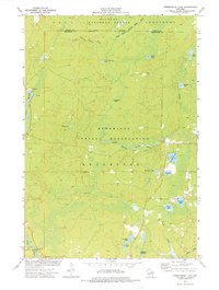
1973 · Fredenberg Lake
USGS Topo · 1:24,000