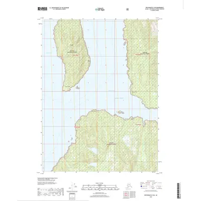
2018 Map of Ketchikan B-3 SW
USGS Topo · Published 2018About this map
Smeaton Island sits prominently at the heart of this coastal Alaskan landscape, framed by the intricate waterways of Smeaton Bay and Princess Bay. Part of the sprawling Tongass National Forest, the terrain is defined by steep, densely contoured ridges and a series of navigational landmarks marking the edges of the Pacific Ocean. Numerous points of interest for mariners and geographers define the shoreline, from Whale Point in the north to Harris Point and the small Stag Island at the southern tip of the island. On the mainland to the east and south, prominent features like Point Trollop and Point Nelson overlook the deep inlets. Freshwater sources such as Checats Creek and Skull Creek drain the interior uplands, illustrating the complex hydrography of the Ketchikan Gateway region during this 2018 survey.
Find a feature on this map
18 named features on this map. Tap any name to fly to it.
Don’t see what you’re looking for? This feature index may not catch every label — zoom into the map to look around manually.
Map Details
Editions of this 2018 Ketchikan B-3 SW Map
This is the sole edition of this map. No revisions or reprints were ever made.
Other maps of this area

1949 · Ketchikan B-4
USGS Topo · 1:63,360

1952 · Ketchikan
USGS Topo · 1:250,000

1952 · Ketchikan B-4
USGS Topo · 1:63,360

1955 · Ketchikan A-4
USGS Topo · 1:63,360

1955 · Ketchikan A-3
USGS Topo · 1:63,360

1955 · Ketchikan B-3
USGS Topo · 1:63,360

1955 · Ketchikan
USGS Topo · 1:250,000
1995 · Ketchikan B-4
USGS Topo · 1:63,360
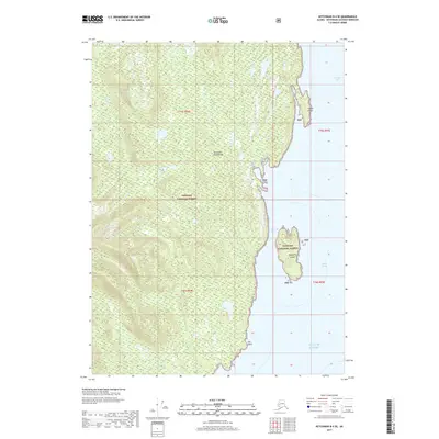
2017 · Ketchikan B-4 SE
USGS Topo · 1:25,000
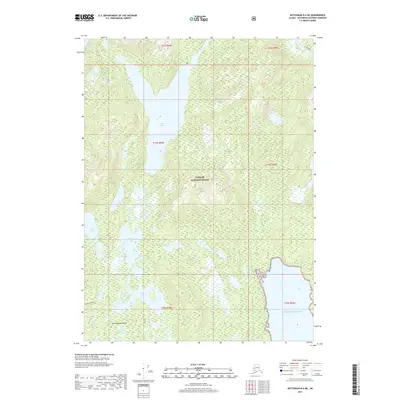
2017 · Ketchikan B-4 NE
USGS Topo · 1:25,000