
1955 Map of Ketchikan A-3
USGS Topo · Published 1959About this map
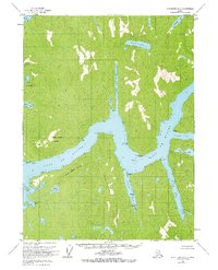
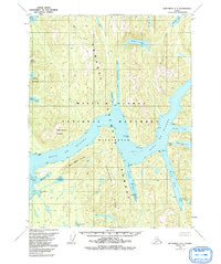
Boca De Quadra dominates this mid-century coastal survey, carving a deep waterway through the heart of the Tongass National Forest. The geography is defined by a series of dramatic inlets and fingers of water, including Badger Bay and the elongated Vixen Bay, which are separated by prominent landforms like Peninsula Ridge. Inland, the landscape is punctuated by numerous freshwater bodies such as Hugh Smith Lake and Bakewell Lake, indicating a wilderness area defined by its complex drainage patterns and proximity to the Behm Canal.
Find a feature on this map
27 named features on this map. Tap any name to fly to it.
Don’t see what you’re looking for? This feature index may not catch every label — zoom into the map to look around manually.
Map Details
Editions of this 1955 Ketchikan A-3 Map
3 editions found
Other maps of this area

1949 · Ketchikan B-4
USGS Topo · 1:63,360

1951 · Prince Rupert
USGS Topo · 1:250,000

1952 · Ketchikan
USGS Topo · 1:250,000

1952 · Ketchikan B-4
USGS Topo · 1:63,360

1955 · Ketchikan A-2
USGS Topo · 1:63,360

1955 · Prince Rupert D-3
USGS Topo · 1:63,360

1955 · Ketchikan A-4
USGS Topo · 1:63,360

1955 · Ketchikan B-2
USGS Topo · 1:63,360
1955 · Prince Rupert D-4
USGS Topo · 1:63,360

1955 · Prince Rupert D-2
USGS Topo · 1:63,360