
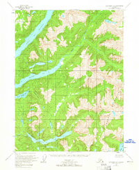
1955 Map of Ketchikan A-2
USGS Topo · Published 1958About this map
The Peabody Mountains dominate this 1950s landscape within the Tongass National Forest, showing a remote Alaskan wilderness where coastal inlets meet steep interior peaks. Water defines the geography, from the broad Boca De Quadra and Marten Arm to inland freshwater bodies like Hugh Smith Lake and Humpback Lake. Signs of human activity are sparse and industrial in nature, including a Mine located along the Red River and a Fish Hatchery (Aband) near the mouth of Buschmann Creek. This era of the territory is characterized by isolated outposts, evidenced by a single Cabin on the shores of Bower Lake. The map illustrates the region's reliance on marine and riverine access before the development of modern road infrastructure.
Find a feature on this map
15 named features on this map. Tap any name to fly to it.
Don’t see what you’re looking for? This feature index may not catch every label — zoom into the map to look around manually.
Map Details
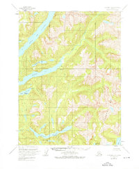
Editions of this 1955 Ketchikan A-2 Map
3 editions found
Other maps of this area

1951 · Prince Rupert
USGS Topo · 1:250,000

1952 · Ketchikan
USGS Topo · 1:250,000

1955 · Prince Rupert D-3
USGS Topo · 1:63,360

1955 · Ketchikan A-1
USGS Topo · 1:63,360

1955 · Ketchikan B-2
USGS Topo · 1:63,360

1955 · Ketchikan B-1
USGS Topo · 1:63,360

1955 · Ketchikan A-3
USGS Topo · 1:63,360

1955 · Prince Rupert D-2
USGS Topo · 1:63,360

1955 · Ketchikan B-3
USGS Topo · 1:63,360
1955 · Prince Rupert D-1
USGS Topo · 1:63,360