
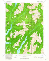
1955 Map of Ketchikan B-2
USGS Topo · Published 1959About this map
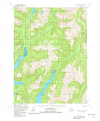
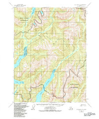
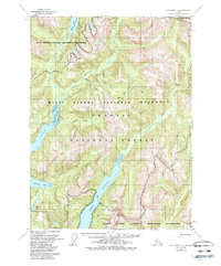
The Boca De Quadra fjord defines this remote coastal landscape in the Tongass National Forest. Deep within the Alaskan panhandle during the mid-1950s, the terrain is characterized by steep glacial inlets and high-altitude basins feeding into Wilson Arm and Bakewell Arm. These tidal waters are met by significant drainage systems including the Blossom River and Wilson River. The map reveals the isolation of the region, showing only a solitary Cabin situated near the headwaters of Wilson Lake. The hydrography, compiled from earlier USC&GS coastal charts, highlights the intersection of marine navigation and inland freshwater systems like Bakewell Arm Lake and Red Creek, reflecting a wilderness state before significant human development or infrastructure altered the drainage patterns.
Find a feature on this map
10 named features on this map. Tap any name to fly to it.
Don’t see what you’re looking for? This feature index may not catch every label — zoom into the map to look around manually.
Map Details
Editions of this 1955 Ketchikan B-2 Map
5 editions found
Other maps of this area

1952 · Ketchikan
USGS Topo · 1:250,000

1955 · Ketchikan A-2
USGS Topo · 1:63,360

1955 · Ketchikan C-3
USGS Topo · 1:63,360

1955 · Ketchikan A-1
USGS Topo · 1:63,360

1955 · Ketchikan C-2
USGS Topo · 1:63,360

1955 · Ketchikan B-1
USGS Topo · 1:63,360

1955 · Ketchikan A-3
USGS Topo · 1:63,360

1955 · Ketchikan B-3
USGS Topo · 1:63,360

1955 · Ketchikan C-1
USGS Topo · 1:63,360

1955 · Ketchikan
USGS Topo · 1:250,000