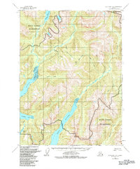
1955 Map of Ketchikan B-2
USGS Topo · Published 1984About this map
Misty Fjords Wilderness defines this section of Southeast Alaska, where glacial-carved waterways and steep coastal terrain dominate the landscape. The intricate network of fjords is anchored by the deep reach of Boca de Quadra, with secondary inlets like Wilson Arm and Bakewell Arm cutting deep into the mainland. In an era where air travel was the primary link to these remote drainages, the map identifies specific infrastructure for bush pilots, including the Wilson Lake Seaplane Landing Area and the Bakewell Lake Seaplane Landing Area. Numerous drainages like the Blossom River and Keta River flow through the interior, while isolated human presence is noted only by a lone Cabin and the naming of landmarks such as Quartz Hill.
Find a feature on this map
19 named features on this map. Tap any name to fly to it.
Don’t see what you’re looking for? This feature index may not catch every label — zoom into the map to look around manually.
Map Details
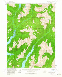
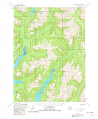
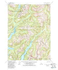
Editions of this 1955 Ketchikan B-2 Map
5 editions found
Other maps of this area

1952 · Ketchikan
USGS Topo · 1:250,000

1955 · Ketchikan A-2
USGS Topo · 1:63,360

1955 · Ketchikan C-3
USGS Topo · 1:63,360

1955 · Ketchikan A-1
USGS Topo · 1:63,360

1955 · Ketchikan C-2
USGS Topo · 1:63,360

1955 · Ketchikan B-2
USGS Topo · 1:63,360

1955 · Ketchikan B-1
USGS Topo · 1:63,360

1955 · Ketchikan A-3
USGS Topo · 1:63,360

1955 · Ketchikan B-3
USGS Topo · 1:63,360

1955 · Ketchikan C-1
USGS Topo · 1:63,360