
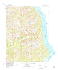
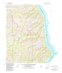
1955 Map of Ketchikan B-1
USGS Topo · Published 1959About this map
The Portland Canal serves as the international boundary between the United States and Canada in this mid-century survey of Southeast Alaska. This maritime frontier is defined by the steep slopes of the Rousseau Range and the Peabody Mountains, all contained within the Tongass National Forest. The map documents a series of reference monuments, such as Ref Mon S-19 and Ref Mon S-20, which mark the precise geopolitical line through these waters.
Find a feature on this map
28 named features on this map. Tap any name to fly to it.
Don’t see what you’re looking for? This feature index may not catch every label — zoom into the map to look around manually.
Map Details
Editions of this 1955 Ketchikan B-1 Map
3 editions found
Other maps of this area

1952 · Ketchikan
USGS Topo · 1:250,000

1955 · Ketchikan A-2
USGS Topo · 1:63,360

1955 · Ketchikan A-1
USGS Topo · 1:63,360

1955 · Ketchikan C-2
USGS Topo · 1:63,360

1955 · Ketchikan B-2
USGS Topo · 1:63,360

1955 · Ketchikan C-1
USGS Topo · 1:63,360

1955 · Ketchikan
USGS Topo · 1:250,000

1996 · Ketchikan C-2
USGS Topo · 1:63,360
2018 · Ketchikan B-1 NE
USGS Topo · 1:25,000
2018 · Ketchikan A-1 NW
USGS Topo · 1:25,000