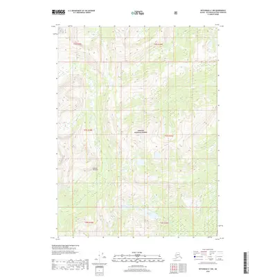
2018 Map of Ketchikan A-1 NW
USGS Topo · Published 2018About this map
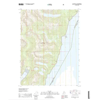
Peabody Mountains dominate this high-elevation wilderness within the Tongass National Forest, showing a landscape defined by steep alpine relief and glacial drainage. The drainage system is anchored by Harrison Lakes in the southern portion of the quadrangle, which feed into the narrow course of Harrison Cr. This area lacks any roads or human settlements, highlighting the remote character of Southeast Alaska's interior islands. The terrain is characterized by massive ridgelines and deep basins, illustrating the complex topography that dictates water flow into the surrounding coastal fjords beyond the map's edge.
Find a feature on this map
10 named features on this map. Tap any name to fly to it.
Don’t see what you’re looking for? This feature index may not catch every label — zoom into the map to look around manually.
Map Details
Editions of this 2018 Ketchikan A-1 NW Map
This is the sole edition of this map. No revisions or reprints were ever made.
Other maps of this area

1952 · Ketchikan
USGS Topo · 1:250,000

1955 · Ketchikan A-2
USGS Topo · 1:63,360

1955 · Ketchikan A-1
USGS Topo · 1:63,360

1955 · Ketchikan B-2
USGS Topo · 1:63,360

1955 · Ketchikan B-1
USGS Topo · 1:63,360

1955 · Ketchikan
USGS Topo · 1:250,000
2018 · Ketchikan A-2 NE
USGS Topo · 1:25,000
2018 · Ketchikan B-2 SE
USGS Topo · 1:25,000
2018 · Ketchikan A-1 NE
USGS Topo · 1:25,000
2018 · Ketchikan A-1 SW
USGS Topo · 1:25,000