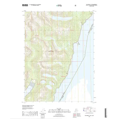
2018 Map of Ketchikan A-1 SW
USGS Topo · Published 2018About this map
The United States of America and Canada border cuts through the southeastern corner of this maritime landscape, where the rugged peaks of the Tongass National Forest meet the cold waters of the Pacific Ocean. High elevation markers like Dome Mtn and Stripe Mtn tower over the coastline, overlooking the narrow waterways of Pearse Canal and the sheltered Hidden Inlet. This map documents a largely roadless wilderness defined by steep relief and significant coastal features, including Harrison Point and the aptly named Reef Island. The interior drainage is characterized by short, steep runs such as Harrison Cr flowing from high basins like Reef Lake. The boundary lines of t78s r100e and t79s r101e provide a cadastral framework for this remote region of the Ketchikan Gateway Borough.
Find a feature on this map
16 named features on this map. Tap any name to fly to it.
Don’t see what you’re looking for? This feature index may not catch every label — zoom into the map to look around manually.
Map Details
Editions of this 2018 Ketchikan A-1 SW Map
This is the sole edition of this map. No revisions or reprints were ever made.
Other maps of this area

1951 · Prince Rupert
USGS Topo · 1:250,000

1952 · Ketchikan
USGS Topo · 1:250,000

1955 · Ketchikan A-2
USGS Topo · 1:63,360

1955 · Ketchikan A-1
USGS Topo · 1:63,360

1955 · Prince Rupert D-2
USGS Topo · 1:63,360
1955 · Prince Rupert D-1
USGS Topo · 1:63,360

1955 · Ketchikan
USGS Topo · 1:250,000

1959 · Prince Rupert
USGS Topo · 1:250,000

1964 · Prince Rupert
USGS Topo · 1:250,000
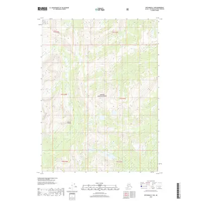
2018 · Ketchikan A-1 NW
USGS Topo · 1:25,000