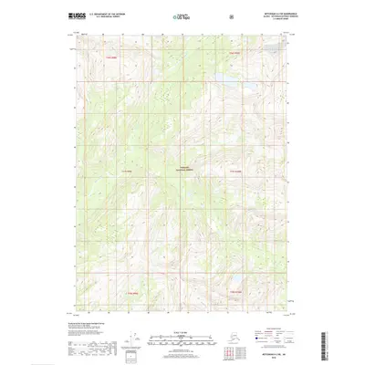
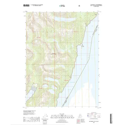
2018 Map of Ketchikan A-2 NE
USGS Topo · Published 2018About this map
Tongass National Forest dominates this Alaskan landscape, where the terrain is defined by steep glacial valleys and a network of freshwater drainage systems. The northern half of the quadrangle is bisected by the Marten River, which flows through a broad basin before winding toward the coast. To the south, the headwaters and upper reaches of the Red River carve through high-elevation ridges, illustrating the characteristic hydrology of the Ketchikan Gateway area. This 2018 survey provides a clear view of the wilderness before any significant modern road infrastructure or permanent settlements reached this specific interior portion of the national forest, preserving a record of the natural landforms and township boundaries including t77s r99e and t78s r100e.
Find a feature on this map
9 named features on this map. Tap any name to fly to it.
Don’t see what you’re looking for? This feature index may not catch every label — zoom into the map to look around manually.
Map Details
Editions of this 2018 Ketchikan A-2 NE Map
This is the sole edition of this map. No revisions or reprints were ever made.
Other maps of this area

1952 · Ketchikan
USGS Topo · 1:250,000

1955 · Ketchikan A-2
USGS Topo · 1:63,360

1955 · Ketchikan A-1
USGS Topo · 1:63,360

1955 · Ketchikan B-2
USGS Topo · 1:63,360

1955 · Ketchikan B-1
USGS Topo · 1:63,360

1955 · Ketchikan
USGS Topo · 1:250,000
2018 · Ketchikan A-1 NW
USGS Topo · 1:25,000
2018 · Ketchikan B-2 SE
USGS Topo · 1:25,000
2018 · Ketchikan B-2 SW
USGS Topo · 1:25,000
2018 · Ketchikan A-1 SW
USGS Topo · 1:25,000