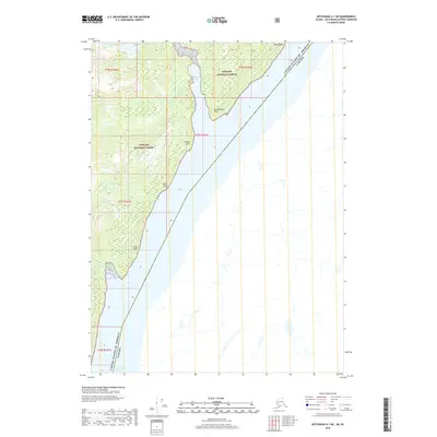
2018 Map of Ketchikan A-1 NE
USGS Topo · Published 2018About this map
Portland Canal serves as the prominent maritime divider on this coastal survey, where the international boundary between the United States and Canada runs directly through the deep waterway. This remote stretch of the Alaska Panhandle is dominated by the heavily timbered reaches of the Tongass National Forest, which covers the steep terrain rising from the shoreline. The map documents several significant coastal features including Halibut Bay and Sandfly Bay, along with a series of navigational landmarks such as Astronomical Point and Blunt Point. The lack of inland development or infrastructure highlights the wild character of this border region, where the steep fjords and dense forest meet the saltwater of the canal.
Find a feature on this map
10 named features on this map. Tap any name to fly to it.
Don’t see what you’re looking for? This feature index may not catch every label — zoom into the map to look around manually.
Map Details
Editions of this 2018 Ketchikan A-1 NE Map
This is the sole edition of this map. No revisions or reprints were ever made.
Other maps of this area

1952 · Ketchikan
USGS Topo · 1:250,000

1955 · Ketchikan A-1
USGS Topo · 1:63,360

1955 · Ketchikan B-1
USGS Topo · 1:63,360

1955 · Ketchikan
USGS Topo · 1:250,000
2018 · Ketchikan A-1 NW
USGS Topo · 1:25,000
2018 · Ketchikan A-1 SW
USGS Topo · 1:25,000
2018 · Ketchikan A-1 SE
USGS Topo · 1:25,000
2018 · Ketchikan B-1 SE
USGS Topo · 1:25,000
2018 · Ketchikan B-1 SW
USGS Topo · 1:25,000
2018 · Ketchikan B-1 OE E SW
USGS Topo · 1:25,000