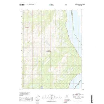
2018 Map of Ketchikan B-1 SE
USGS Topo · Published 2018About this map
The international border between Canada and the United States of America bisects this remote coastal landscape, defining the eastern edge of the Tongass National Forest. The terrain is marked by steep elevation changes and dense woodland, reaching down to a series of distinctive coastal landmarks along the shoreline. Geographic markers such as Breezy Point, Rock Point, and Camp Point provide critical orientation points for maritime navigation and terrestrial survey in a region where few permanent settlements are established. This 2018 survey illustrates the precise intersection of natural topography and political boundaries, documented through the public land survey system divisions of t75s r100e, t75s r101e, t76s r100e, and t76s r101e.
Find a feature on this map
9 named features on this map. Tap any name to fly to it.
Don’t see what you’re looking for? This feature index may not catch every label — zoom into the map to look around manually.
Map Details
Editions of this 2018 Ketchikan B-1 SE Map
This is the sole edition of this map. No revisions or reprints were ever made.
Other maps of this area

1952 · Ketchikan
USGS Topo · 1:250,000

1955 · Ketchikan A-1
USGS Topo · 1:63,360

1955 · Ketchikan B-1
USGS Topo · 1:63,360

1955 · Ketchikan
USGS Topo · 1:250,000
2018 · Ketchikan B-1 NE
USGS Topo · 1:25,000
2018 · Ketchikan A-1 NW
USGS Topo · 1:25,000
2018 · Ketchikan A-1 NE
USGS Topo · 1:25,000
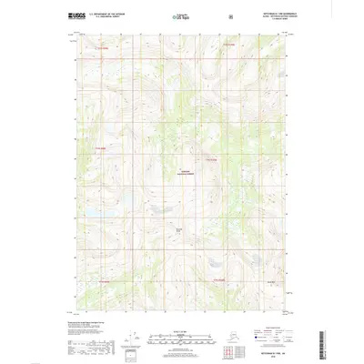
2018 · Ketchikan B-1 NW
USGS Topo · 1:25,000
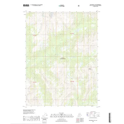
2018 · Ketchikan B-1 SW
USGS Topo · 1:25,000
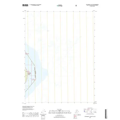
2018 · Ketchikan B-1 OE E SW
USGS Topo · 1:25,000