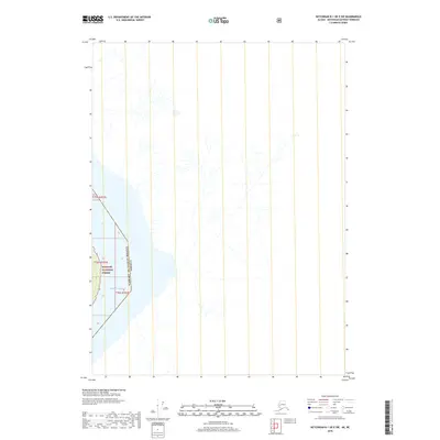
2018 Map of Ketchikan B-1 OE E SW
USGS Topo · Published 2018About this map
The Canada United States of America international boundary cuts through this coastal region, where the terrestrial landscape meets the northern reaches of the Pacific Ocean. To the west, the protected lands of the Tongass National Forest dominate the terrain, reflecting the vast timber and ecological reserves managed by the U.S. Forest Service. The map depicts a rugged, largely undeveloped environment where steep drainages and glacial features characterize the topography of the boundary zone. This specific location serves as a critical point of geographic transition between British Columbia and Alaska, defined by its water-bound frontier and the absence of established road networks or settlements.
Find a feature on this map
6 named features on this map. Tap any name to fly to it.
Don’t see what you’re looking for? This feature index may not catch every label — zoom into the map to look around manually.
Map Details
Editions of this 2018 Ketchikan B-1 OE E SW Map
This is the sole edition of this map. No revisions or reprints were ever made.
Other maps of this area

1952 · Ketchikan
USGS Topo · 1:250,000

1955 · Ketchikan A-1
USGS Topo · 1:63,360

1955 · Ketchikan B-1
USGS Topo · 1:63,360

1955 · Ketchikan
USGS Topo · 1:250,000
2018 · Ketchikan B-1 NE
USGS Topo · 1:25,000
2018 · Ketchikan A-1 NE
USGS Topo · 1:25,000
2018 · Ketchikan B-1 SE
USGS Topo · 1:25,000
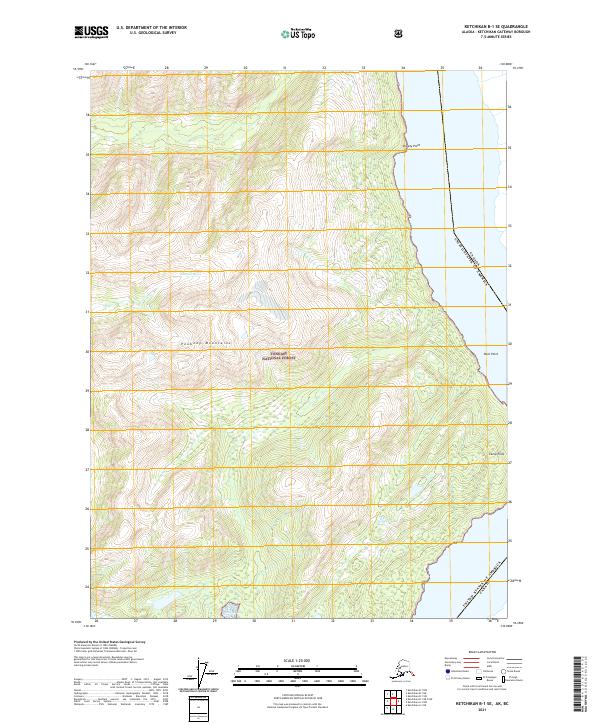
2021 · Ketchikan B-1 SE
USGS Topo · 1:25,000
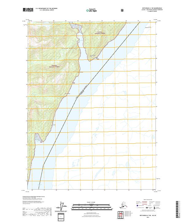
2021 · Ketchikan A-1 NE
USGS Topo · 1:25,000
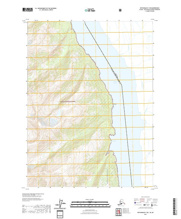
2021 · Ketchikan B-1 NE
USGS Topo · 1:25,000