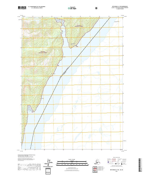
2021 Map of Ketchikan A-1 NE
USGS Topo · Published 2021About this map
The United States of America Canada international boundary cuts diagonally across this remote coastal landscape, separating Alaskan waters from British Columbia. The western half of the map is dominated by the steep slopes of the Peabody Mountains, which rise sharply from the shoreline of the Portland Canal. This fjord-like waterway serves as a primary maritime artery, with numerous navigational landmarks such as Astronomical Point, Blunt Point, and Azimuth Point marking the transition from open water to protected coves.
Find a feature on this map
18 named features on this map. Tap any name to fly to it.
Don’t see what you’re looking for? This feature index may not catch every label — zoom into the map to look around manually.
Map Details
Editions of this 2021 Ketchikan A-1 NE Map
This is the sole edition of this map. No revisions or reprints were ever made.
Other maps of this area

1952 · Ketchikan
USGS Topo · 1:250,000

1955 · Ketchikan A-1
USGS Topo · 1:63,360

1955 · Ketchikan B-1
USGS Topo · 1:63,360

1955 · Ketchikan
USGS Topo · 1:250,000
2018 · Ketchikan A-1 NW
USGS Topo · 1:25,000
2018 · Ketchikan A-1 NE
USGS Topo · 1:25,000
2018 · Ketchikan A-1 SW
USGS Topo · 1:25,000
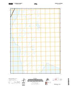
2018 · Ketchikan A-1 SE
USGS Topo · 1:25,000
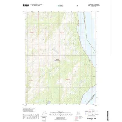
2018 · Ketchikan B-1 SE
USGS Topo · 1:25,000
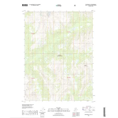
2018 · Ketchikan B-1 SW
USGS Topo · 1:25,000