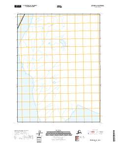
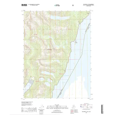
2018 Map of Ketchikan A-1 SE
USGS Topo · Published 2018About this map
The international border between the United States of America and Canada defines this coastal Alaskan landscape, where the northern reaches of Southeast Alaska meet British Columbia. Located within the t78s r101e township grid, the area is characterized by a complex network of waterways and glaciated terrain. While the map is sparse in named man-made landmarks, it provides a precise technical view of the hydrography and jurisdictional boundaries that shape this remote frontier. The absence of roads and settlements emphasizes the wilderness character of the region, where the primary geographical features are the intricate shorelines and drainage patterns that feed into the surrounding marine environment.
Find a feature on this map
2 named features on this map. Tap any name to fly to it.
Don’t see what you’re looking for? This feature index may not catch every label — zoom into the map to look around manually.
Map Details
Editions of this 2018 Ketchikan A-1 SE Map
This is the sole edition of this map. No revisions or reprints were ever made.
Other maps of this area

1951 · Prince Rupert
USGS Topo · 1:250,000

1952 · Ketchikan
USGS Topo · 1:250,000

1955 · Ketchikan A-1
USGS Topo · 1:63,360
1955 · Prince Rupert D-1
USGS Topo · 1:63,360

1955 · Ketchikan
USGS Topo · 1:250,000

1959 · Prince Rupert
USGS Topo · 1:250,000

1964 · Prince Rupert
USGS Topo · 1:250,000
2018 · Ketchikan A-1 NW
USGS Topo · 1:25,000
2018 · Ketchikan A-1 NE
USGS Topo · 1:25,000
2018 · Ketchikan A-1 SW
USGS Topo · 1:25,000