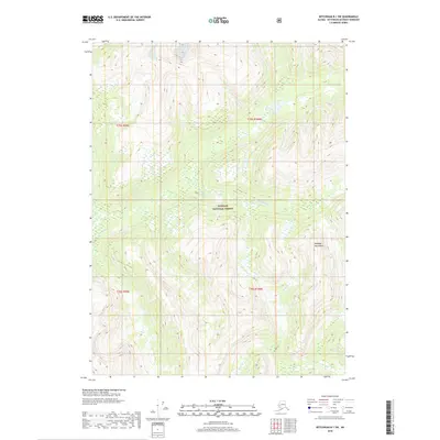
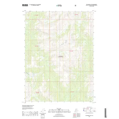
2018 Map of Ketchikan B-1 SW
USGS Topo · Published 2018About this map
The Marten River flows through this heavily forested landscape, cutting through the southeastern Alaskan wilderness. Located within the Tongass National Forest, the terrain is defined by the elevation of the Peabody Mountains and a dense network of mountain streams. This 2018 survey illustrates the complex topography of the Ketchikan Gateway Borough, where high ridgelines and valley floors remain largely untouched by modern infrastructure. The absence of roads or settlements emphasizes the remote nature of these coastal mountains. Surveyors from the U.S. Geological Survey recorded the hydrological patterns and elevation changes across townships t75s r99e and t76s r100e, providing a clear view of the natural drainage systems that define this part of the Alexander Archipelago.
Find a feature on this map
7 named features on this map. Tap any name to fly to it.
Don’t see what you’re looking for? This feature index may not catch every label — zoom into the map to look around manually.
Map Details
Editions of this 2018 Ketchikan B-1 SW Map
This is the sole edition of this map. No revisions or reprints were ever made.
Other maps of this area

1952 · Ketchikan
USGS Topo · 1:250,000

1955 · Ketchikan A-2
USGS Topo · 1:63,360

1955 · Ketchikan A-1
USGS Topo · 1:63,360

1955 · Ketchikan B-2
USGS Topo · 1:63,360

1955 · Ketchikan B-1
USGS Topo · 1:63,360

1955 · Ketchikan
USGS Topo · 1:250,000
2018 · Ketchikan B-1 NE
USGS Topo · 1:25,000
2018 · Ketchikan A-1 NW
USGS Topo · 1:25,000
2018 · Ketchikan A-2 NE
USGS Topo · 1:25,000
2018 · Ketchikan B-2 NE
USGS Topo · 1:25,000