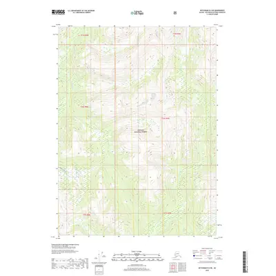
2018 Map of Ketchikan B-2 NE
USGS Topo · Published 2018About this map
Tongass National Forest dominates this Alaskan landscape, characterized by the winding drainage systems of the Blossom River and Keta River. This 2018 survey captures the high-elevation terrain of the Ketchikan Gateway Borough, where the steep topography is carved by numerous unnamed tributaries and glacial features. A significant human imprint on this wilderness is the Quartz Hill Access road, which provides a corridor through the mountainous interior in the southwestern portion of the map. Smaller watercourses like Red Cr drain the southeastern slopes, illustrating the complex hydrography of the region. The map serves as a detailed study of the land-use boundaries within the national forest, delineated by the Public Land Survey System grid lines that segment the territory.
Find a feature on this map
11 named features on this map. Tap any name to fly to it.
Don’t see what you’re looking for? This feature index may not catch every label — zoom into the map to look around manually.
Map Details
Editions of this 2018 Ketchikan B-2 NE Map
This is the sole edition of this map. No revisions or reprints were ever made.
Other maps of this area

1952 · Ketchikan
USGS Topo · 1:250,000

1955 · Ketchikan C-2
USGS Topo · 1:63,360

1955 · Ketchikan B-2
USGS Topo · 1:63,360

1955 · Ketchikan B-1
USGS Topo · 1:63,360

1955 · Ketchikan C-1
USGS Topo · 1:63,360

1955 · Ketchikan
USGS Topo · 1:250,000

1996 · Ketchikan C-2
USGS Topo · 1:63,360
2018 · Ketchikan B-2 SE
USGS Topo · 1:25,000
2018 · Ketchikan C-1 SW
USGS Topo · 1:25,000
2018 · Ketchikan B-2 NW
USGS Topo · 1:25,000