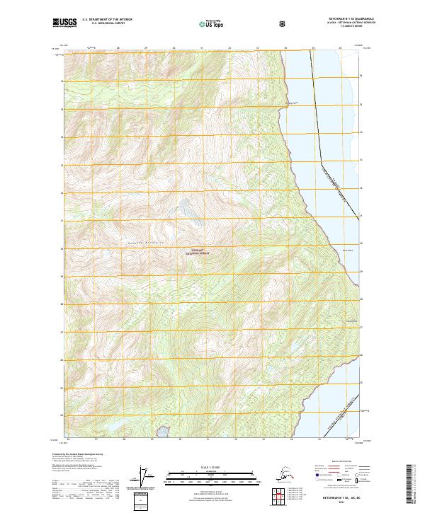
2021 Map of Ketchikan B-1 SE
USGS Topo · Published 2021About this map
The Peabody Mountains dominate this coastal landscape within the Tongass National Forest, illustrating the steep, high-elevation terrain characteristic of the Alaska-Canada borderlands. This survey defines the international boundary between the United States and Canada, tracing a line through the maritime environment along the eastern edge of the sheet. Coastal landmarks such as Breezy Point, Rock Point, and Camp Point mark the transition from the forested mountain slopes to the waters of the Bay. The inland drainage is defined by the Marten River, which cuts through the rugged interior. This map is particularly valuable for its representation of the Public Land Survey System divisions, including t75s r101e and t76s r101e, which help coordinate this remote wilderness area near the international frontier.
Find a feature on this map
12 named features on this map. Tap any name to fly to it.
Don’t see what you’re looking for? This feature index may not catch every label — zoom into the map to look around manually.
Map Details
Editions of this 2021 Ketchikan B-1 SE Map
This is the sole edition of this map. No revisions or reprints were ever made.
Other maps of this area

1952 · Ketchikan
USGS Topo · 1:250,000

1955 · Ketchikan A-1
USGS Topo · 1:63,360

1955 · Ketchikan B-1
USGS Topo · 1:63,360

1955 · Ketchikan
USGS Topo · 1:250,000
2018 · Ketchikan B-1 NE
USGS Topo · 1:25,000
2018 · Ketchikan A-1 NW
USGS Topo · 1:25,000
2018 · Ketchikan A-1 NE
USGS Topo · 1:25,000
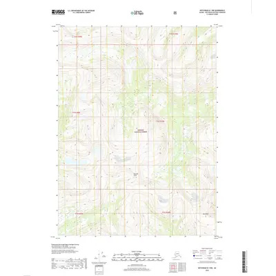
2018 · Ketchikan B-1 NW
USGS Topo · 1:25,000
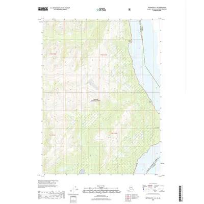
2018 · Ketchikan B-1 SE
USGS Topo · 1:25,000
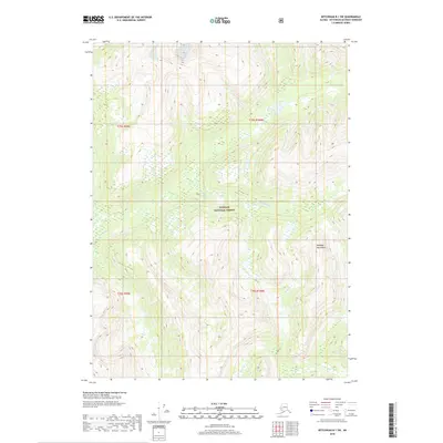
2018 · Ketchikan B-1 SW
USGS Topo · 1:25,000