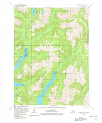
1955 Map of Ketchikan B-2
USGS Topo · Published 1982About this map
Boca De Quadra dominates the lower central portion of this 1955 survey, where deep marine inlets and river systems define the terrain. The presence of the Wilson Seaplane Landing Area on Wilson Lake and the Bakewell Seaplane Landing Area near Bakewell Lake highlights the absolute reliance on aerial transportation in this roadless wilderness. A lone Cabin near the northern shore of Wilson Lake serves as the only named structure on the sheet, underscoring the isolation of the area during the mid-20th century. Major drainage systems like the Wilson River, Blossom River, and Keta River flow through the valleys, while the Wilson Arm and Bakewell Arm provide coastal access to the interior. This map is an essential record of the Ketchikan region's hydrography and basic infrastructure as it stood before modern developments.
Find a feature on this map
13 named features on this map. Tap any name to fly to it.
Don’t see what you’re looking for? This feature index may not catch every label — zoom into the map to look around manually.
Map Details
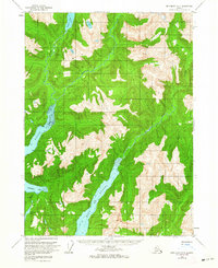
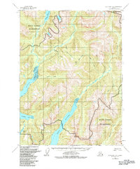
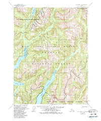
Editions of this 1955 Ketchikan B-2 Map
5 editions found
Other maps of this area

1952 · Ketchikan
USGS Topo · 1:250,000

1955 · Ketchikan A-2
USGS Topo · 1:63,360

1955 · Ketchikan C-3
USGS Topo · 1:63,360

1955 · Ketchikan A-1
USGS Topo · 1:63,360

1955 · Ketchikan C-2
USGS Topo · 1:63,360

1955 · Ketchikan B-2
USGS Topo · 1:63,360

1955 · Ketchikan B-1
USGS Topo · 1:63,360

1955 · Ketchikan A-3
USGS Topo · 1:63,360

1955 · Ketchikan B-3
USGS Topo · 1:63,360

1955 · Ketchikan C-1
USGS Topo · 1:63,360