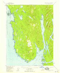
1955 Map of Prince Rupert D-3
USGS Topo · Published 1959About this map
The Peninsula between Revillagigedo Channel and Nakat Inlet defines this coastal region of the Tongass National Forest. Surveyed in the late 1940s and mid-1950s, the map documents a maritime landscape where travel was dictated by deep glacial fjords and sheltered bays. Small outposts and seasonal shelters are noted simply as Cabin or Cabins along the shoreline, particularly near Foggy Pt and Lakektal Pt, suggesting a period of localized fishing and trapping activity.
Find a feature on this map
52 named features on this map. Tap any name to fly to it.
Don’t see what you’re looking for? This feature index may not catch every label — zoom into the map to look around manually.
Map Details
Editions of this 1955 Prince Rupert D-3 Map
2 editions found

Other maps of this area

1951 · Prince Rupert
USGS Topo · 1:250,000

1952 · Ketchikan
USGS Topo · 1:250,000
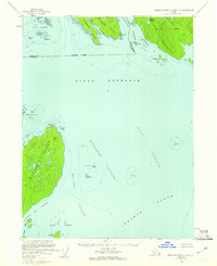
1955 · Ketchikan A-2
USGS Topo · 1:63,360
1955 · Ketchikan A-4
USGS Topo · 1:63,360
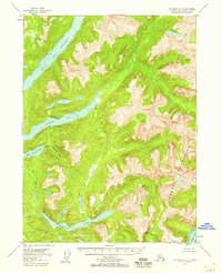
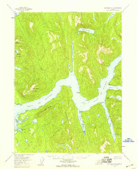
1955 · Prince Rupert D-4
USGS Topo · 1:63,360
1955 · Ketchikan A-3
USGS Topo · 1:63,360
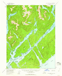
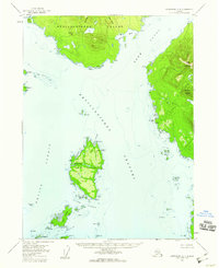
1955 · Prince Rupert D-2
USGS Topo · 1:63,360

1955 · Ketchikan
USGS Topo · 1:250,000
1958 · Prince Rupert C-2 and C-3
USGS Topo · 1:63,360
1959 · Prince Rupert
USGS Topo · 1:250,000