
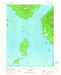
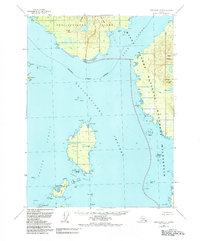
1955 Map of Ketchikan A-4
USGS Topo · Published 1959About this map
The maritime landscape of Southeast Alaska is defined here by the convergence of the Revillagigedo Channel, Behm Canal, and Felice Strait. Centrally located, Mary Island serves as a critical navigational hub, home to the Mary Island Lighthouse and protected waters at Mary I Anchorage. The shoreline reveals scattered human presence in the form of isolated cabins and the small settlement of Ham on the western edge, reflecting the region's reliance on coastal access before the development of inland infrastructure.
Find a feature on this map
62 named features on this map. Tap any name to fly to it.
Don’t see what you’re looking for? This feature index may not catch every label — zoom into the map to look around manually.
Map Details
Editions of this 1955 Ketchikan A-4 Map
3 editions found
Other maps of this area

1949 · Ketchikan B-4
USGS Topo · 1:63,360

1951 · Prince Rupert
USGS Topo · 1:250,000

1952 · Ketchikan
USGS Topo · 1:250,000

1952 · Ketchikan B-4
USGS Topo · 1:63,360

1954 · Ketchikan B-5
USGS Topo · 1:63,360

1955 · Prince Rupert D-3
USGS Topo · 1:63,360

1955 · Ketchikan A-5
USGS Topo · 1:63,360
1955 · Prince Rupert D-5
USGS Topo · 1:63,360
1955 · Prince Rupert D-4
USGS Topo · 1:63,360

1955 · Ketchikan A-3
USGS Topo · 1:63,360