
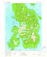
1955 Map of Ketchikan A-5
USGS Topo · Published 1959About this map
Metlakatla serves as the primary settlement on this portion of Annette Island, situated within the Annette Island Indian Reservation. The community's coastal economy is anchored by the Metlakatla Cannery near Village Pt, supported by a Powerhouse and an aboveground pipeline that connects to local water resources. Significant transportation infrastructure is evident at the Annette Island Airport on the southern peninsula, which includes a Pass Terminal and nearby Seaplane Ramp at Tamgas Harbor.
Find a feature on this map
113 named features on this map. Tap any name to fly to it.
Don’t see what you’re looking for? This feature index may not catch every label — zoom into the map to look around manually.
Map Details
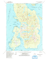
Editions of this 1955 Ketchikan A-5 Map
3 editions found
Other maps of this area

1948 · Prince Rupert D-6
USGS Topo · 1:63,360

1948 · Ketchikan A-6
USGS Topo · 1:63,360

1949 · Ketchikan B-4
USGS Topo · 1:63,360

1951 · Prince Rupert
USGS Topo · 1:250,000

1951 · Prince Rupert D-6
USGS Topo · 1:63,360

1952 · Ketchikan
USGS Topo · 1:250,000

1952 · Ketchikan B-4
USGS Topo · 1:63,360

1953 · Ketchikan B-6
USGS Topo · 1:63,360

1954 · Ketchikan B-5
USGS Topo · 1:63,360

1954 · Ketchikan B-6
USGS Topo · 1:63,360