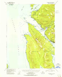
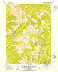
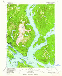
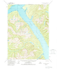
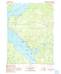
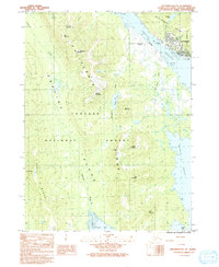
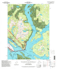
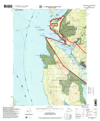
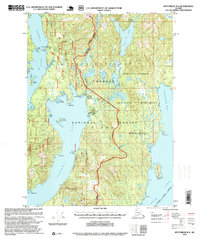
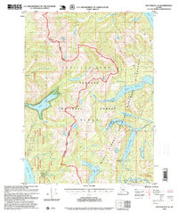
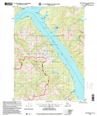
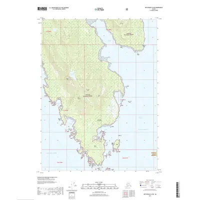
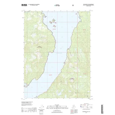
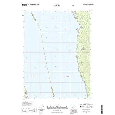
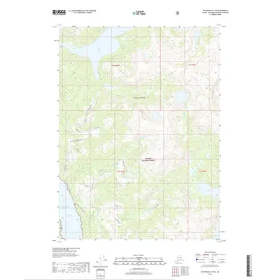
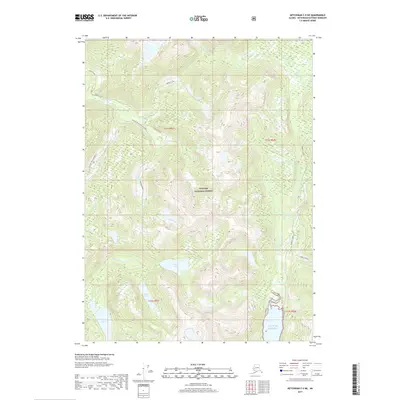
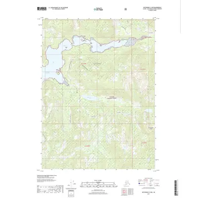
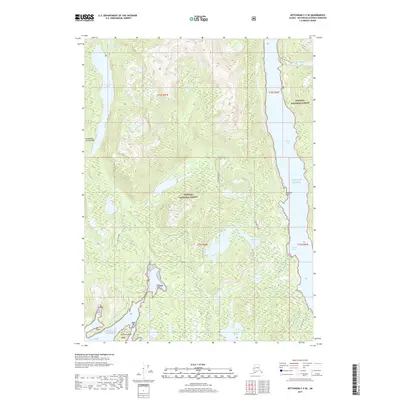
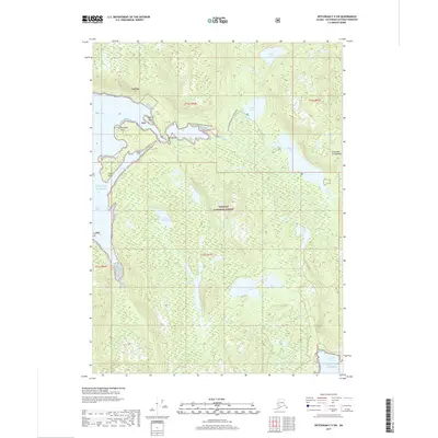
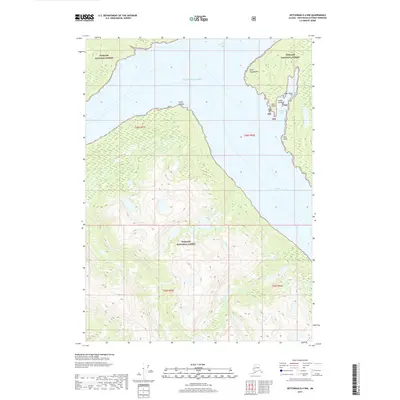
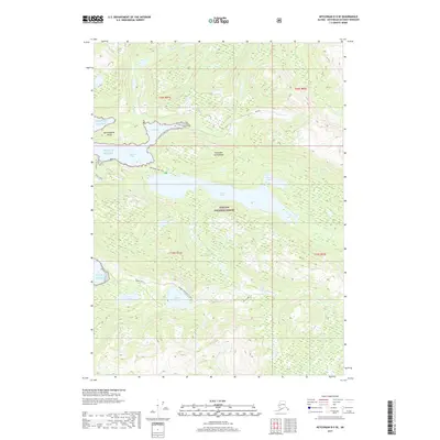
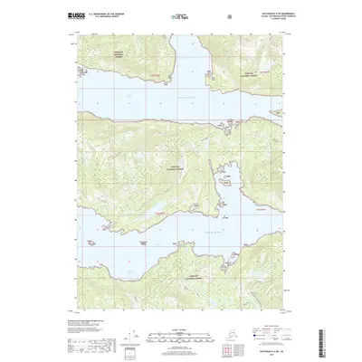
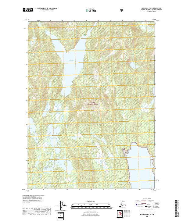
1953 Map of Ketchikan B-6
USGS Topo · Published 1955About this map
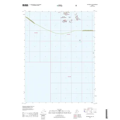
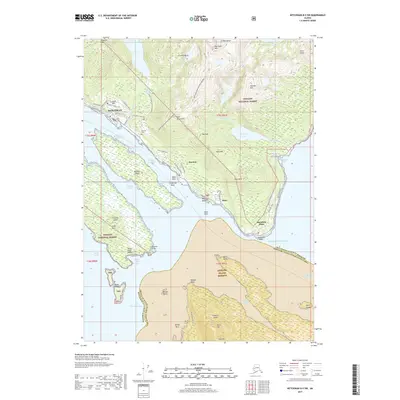
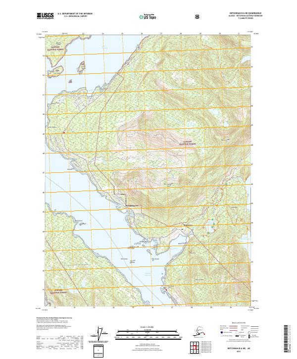
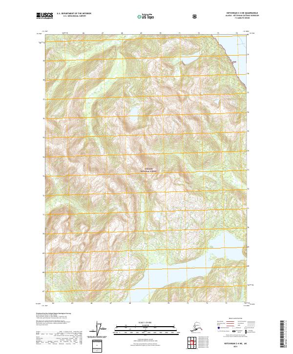
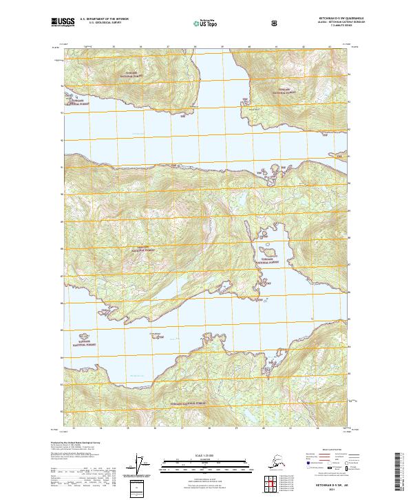
Revillagigedo Island and Gravina Island anchor this coastal survey, separated by the narrow channel of the Tongass Narrows. In the early 1950s, the maritime and industrial character of the region is evident through features like the US Coast Guard Station near Pt Higgins and the Cannery at Wards Cove. The settlement of Wacker (Wards Cove PO) and the growing northern reaches of Ketchikan show the early footprint of development along the North Tongass Road.
Find a feature on this map
78 named features on this map. Tap any name to fly to it.
Don’t see what you’re looking for? This feature index may not catch every label — zoom into the map to look around manually.
Map Details
Editions of this 1953 Ketchikan B-6 Map
This is the sole edition of this map. No revisions or reprints were ever made.
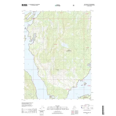
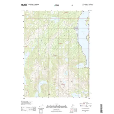
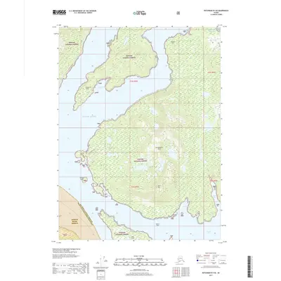
Historical Maps of Ketchikan Through Time
85 maps found
1948 Ketchikan C-5
Ketchikan Gateway Borough, AK
1949 Ketchikan B-4
Ketchikan Gateway Borough, AK
1952 Ketchikan B-4
Ketchikan Gateway Borough, AK
1952 Ketchikan C-4
Ketchikan Gateway Borough, AK
1952 Ketchikan D-5
Ketchikan Gateway Borough, AK
1953 Ketchikan B-6
Ketchikan Gateway Borough, AK
1953 Ketchikan C-5
Ketchikan Gateway Borough, AK
1953 Ketchikan D-5
Ketchikan Gateway Borough, AK
1954 Ketchikan B-5
Ketchikan Gateway Borough, AK
1954 Ketchikan B-6
Ketchikan Gateway Borough, AK
1955 Ketchikan B-5
Ketchikan Gateway Borough, AK
1955 Ketchikan C-4
Ketchikan Gateway Borough, AK
1955 Ketchikan D-4
Ketchikan Gateway Borough, AK
1962 Ketchikan D-4
Ketchikan Gateway Borough, AK
1991 Ketchikan B-5 NW
Ketchikan Gateway Borough, AK
1991 Ketchikan B-5 SW
Ketchikan Gateway Borough, AK
1991 Ketchikan B-6 NE
Ketchikan Gateway Borough, AK
1991 Ketchikan B-6 SE
Ketchikan Gateway Borough, AK
1994 Ketchikan B-5
Ketchikan Gateway Borough, AK
1994 Ketchikan B-6
Ketchikan Gateway Borough, AK
1995 Ketchikan B-4
Ketchikan Gateway Borough, AK
1995 Ketchikan C-4
Ketchikan Gateway Borough, AK
1996 Ketchikan D-4
Ketchikan Gateway Borough, AK
2017 Ketchikan A-6 NE
Ketchikan Gateway Borough, AK
2017 Ketchikan A-6 SE
Ketchikan Gateway Borough, AK
2017 Ketchikan B-4 NE
Ketchikan Gateway Borough, AK
2017 Ketchikan B-4 NW
Ketchikan Gateway Borough, AK
2017 Ketchikan B-4 SE
Ketchikan Gateway Borough, AK
2017 Ketchikan B-4 SW
Ketchikan Gateway Borough, AK
2017 Ketchikan B-5 NE
Ketchikan Gateway Borough, AK
2017 Ketchikan B-5 NW
Ketchikan Gateway Borough, AK
2017 Ketchikan B-5 SE
Ketchikan Gateway Borough, AK
2017 Ketchikan B-5 SW
Ketchikan Gateway Borough, AK
2017 Ketchikan B-6 NE
Ketchikan Gateway Borough, AK
2017 Ketchikan B-6 NW
Ketchikan Gateway Borough, AK
2017 Ketchikan B-6 SE
Ketchikan Gateway Borough, AK
2017 Ketchikan B-6 SW
Ketchikan Gateway Borough, AK
2017 Ketchikan C-4 NE
Ketchikan Gateway Borough, AK
2017 Ketchikan C-4 NW
Ketchikan Gateway Borough, AK
2017 Ketchikan C-4 SE
Ketchikan Gateway Borough, AK
2017 Ketchikan C-4 SW
Ketchikan Gateway Borough, AK
2017 Ketchikan C-5 NE
Ketchikan Gateway Borough, AK
2017 Ketchikan C-5 NW
Ketchikan Gateway Borough, AK
2017 Ketchikan C-5 SE
Ketchikan Gateway Borough, AK
2017 Ketchikan C-5 SW
Ketchikan Gateway Borough, AK
2017 Ketchikan C-6 NE
Ketchikan Gateway Borough, AK
2017 Ketchikan C-6 SE
Ketchikan Gateway Borough, AK
2017 Ketchikan C-6 SW
Ketchikan Gateway Borough, AK
2017 Ketchikan D-4 NW
Ketchikan Gateway Borough, AK
2017 Ketchikan D-4 SE
Ketchikan Gateway Borough, AK
2017 Ketchikan D-4 SW
Ketchikan Gateway Borough, AK
2017 Ketchikan D-5 NE
Ketchikan Gateway Borough, AK
2017 Ketchikan D-5 SE
Ketchikan Gateway Borough, AK
2017 Ketchikan D-5 SW
Ketchikan Gateway Borough, AK
2021 Ketchikan A-6 NE
Ketchikan Gateway Borough, AK
2021 Ketchikan A-6 SE
Ketchikan Gateway Borough, AK
2021 Ketchikan B-4 NE
Ketchikan Gateway Borough, AK
2021 Ketchikan B-4 NW
Ketchikan Gateway Borough, AK
2021 Ketchikan B-4 SE
Ketchikan Gateway Borough, AK
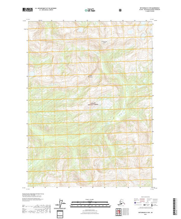
2021 Ketchikan B-4 SW
Ketchikan Gateway Borough, AK
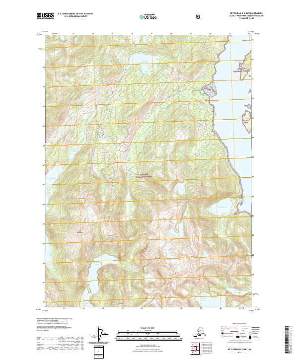
2021 Ketchikan B-5 NE
Ketchikan Gateway Borough, AK
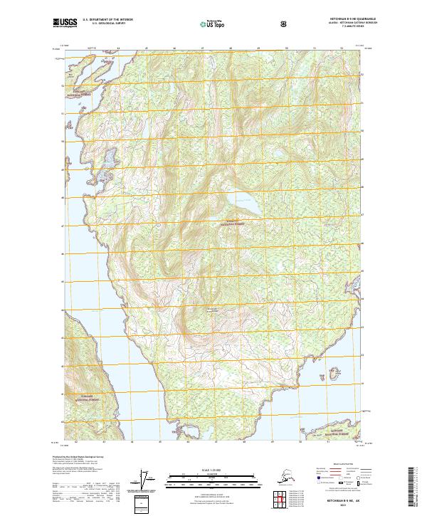
2021 Ketchikan B-5 NW
Ketchikan Gateway Borough, AK
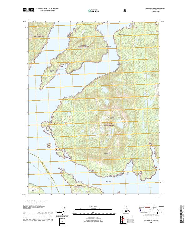
2021 Ketchikan B-5 SE
Ketchikan Gateway Borough, AK
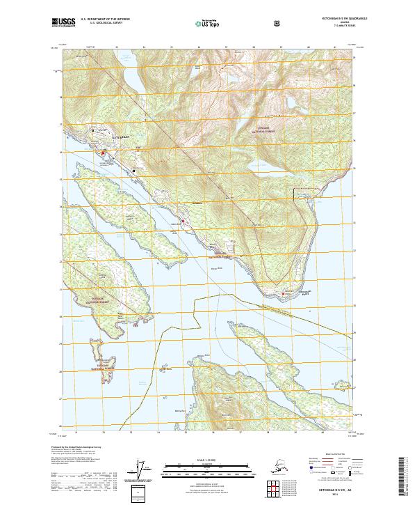
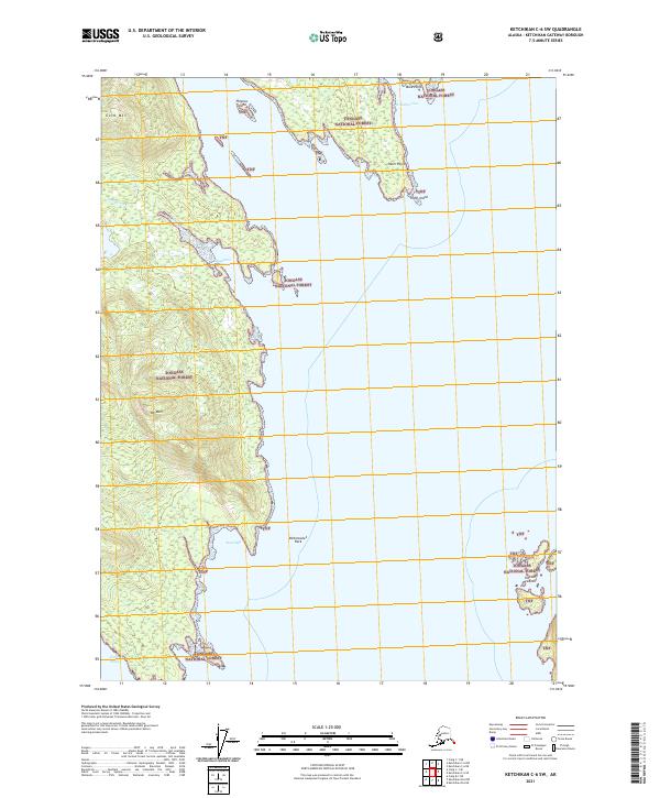
2021 Ketchikan B-5 SW
Ketchikan Gateway Borough, AK
2021 Ketchikan B-6 NE
Ketchikan Gateway Borough, AK
2021 Ketchikan B-6 NW
Ketchikan Gateway Borough, AK
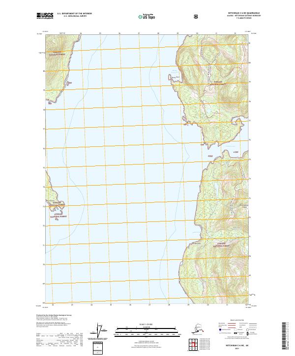
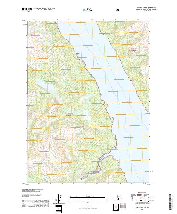
2021 Ketchikan B-6 SE
Ketchikan Gateway Borough, AK
2021 Ketchikan B-6 SW
Ketchikan Gateway Borough, AK
2021 Ketchikan C-4 NE
Ketchikan Gateway Borough, AK
2021 Ketchikan C-4 NW
Ketchikan Gateway Borough, AK
2021 Ketchikan C-4 SE
Ketchikan Gateway Borough, AK
2021 Ketchikan C-4 SW
Ketchikan Gateway Borough, AK
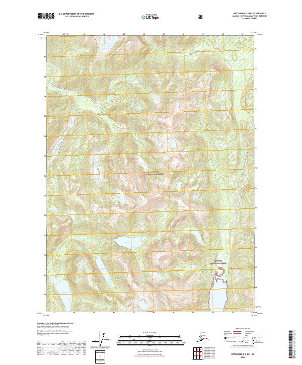
2021 Ketchikan C-5 NE
Ketchikan Gateway Borough, AK
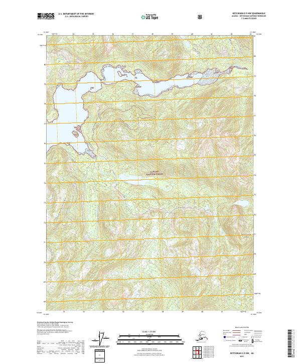
2021 Ketchikan C-5 NW
Ketchikan Gateway Borough, AK
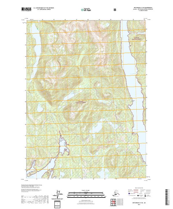
2021 Ketchikan C-5 SE
Ketchikan Gateway Borough, AK
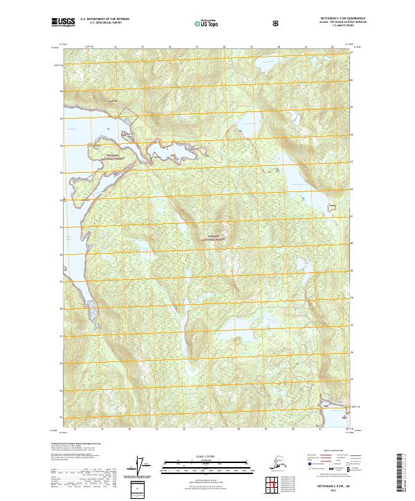
2021 Ketchikan C-5 SW
Ketchikan Gateway Borough, AK
2021 Ketchikan C-6 NE
Ketchikan Gateway Borough, AK
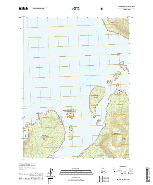
2021 Ketchikan C-6 SE
Ketchikan Gateway Borough, AK
2021 Ketchikan C-6 SW
Ketchikan Gateway Borough, AK
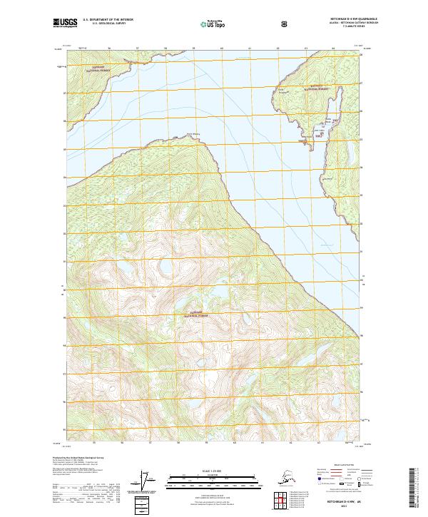
2021 Ketchikan D-4 NW
Ketchikan Gateway Borough, AK
2021 Ketchikan D-4 SE
Ketchikan Gateway Borough, AK
2021 Ketchikan D-4 SW
Ketchikan Gateway Borough, AK
2021 Ketchikan D-5 NE
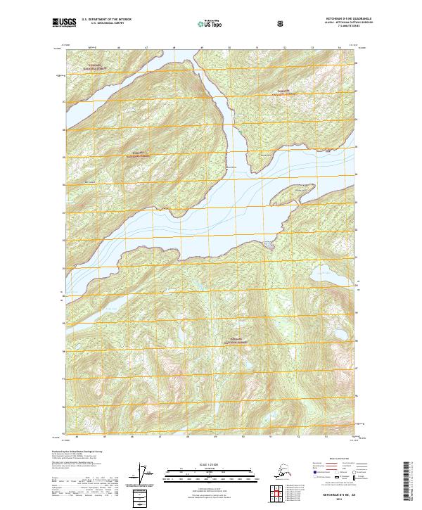
Ketchikan Gateway Borough, AK
2021 Ketchikan D-5 SE
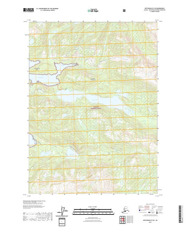
Ketchikan Gateway Borough, AK
2021 Ketchikan D-5 SW
Ketchikan Gateway Borough, AK