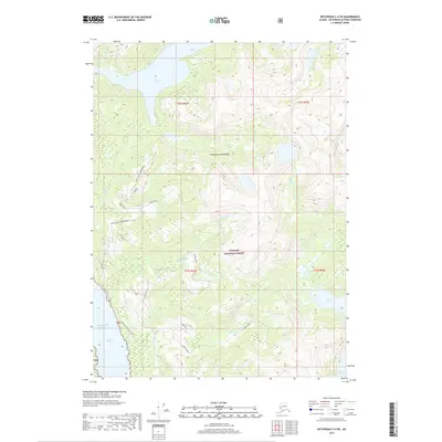
2017 Map of Ketchikan C-4 SW
USGS Topo · Published 2017About this map
Tongass National Forest dominates this section of the Alexander Archipelago, where steep-sided drainages meet the saltwater of the Gulf of Alaska. The landscape is defined by its deep coastal incisions, most notably the Carroll Inlet and the Shoal Cove area. These waterways provided the primary historical access to the timber and resources of the region before the development of modern forest service roads.
Find a feature on this map
24 named features on this map. Tap any name to fly to it.
Don’t see what you’re looking for? This feature index may not catch every label — zoom into the map to look around manually.
Map Details
Editions of this 2017 Ketchikan C-4 SW Map
This is the sole edition of this map. No revisions or reprints were ever made.
Other maps of this area

1948 · Ketchikan C-5
USGS Topo · 1:63,360

1949 · Ketchikan B-4
USGS Topo · 1:63,360

1952 · Ketchikan
USGS Topo · 1:250,000

1952 · Ketchikan B-4
USGS Topo · 1:63,360

1952 · Ketchikan C-4
USGS Topo · 1:63,360

1953 · Ketchikan C-5
USGS Topo · 1:63,360

1954 · Ketchikan B-5
USGS Topo · 1:63,360

1955 · Ketchikan C-4
USGS Topo · 1:63,360

1955 · Ketchikan
USGS Topo · 1:250,000

1955 · Ketchikan B-5
USGS Topo · 1:63,360