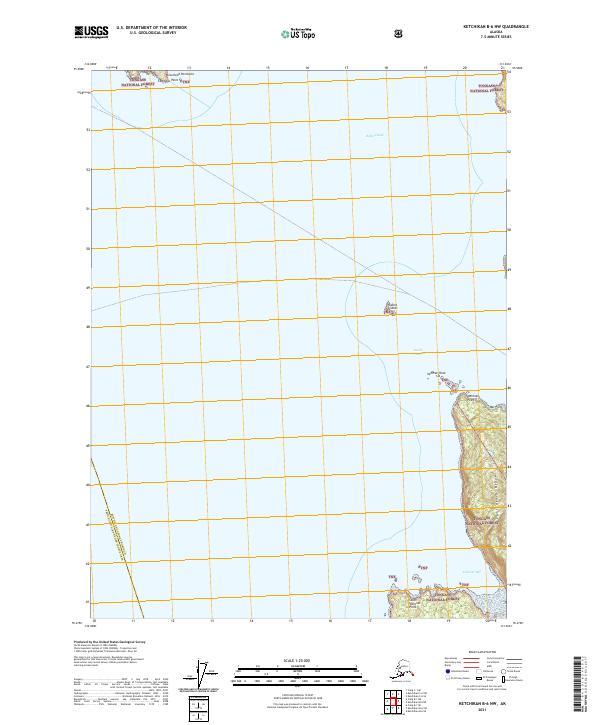
2021 Map of Ketchikan B-6 NW
USGS Topo · Published 2021About this map
Tongass National Forest dominates this maritime landscape where the Inside Passage meets the Behm Canal. The geography is defined by narrow waterways and steep coastal rises, including the prominent California Ridge on the eastern shore. Navigational points such as Caamano Point on the Cleveland Peninsula and the offshore Guard Islands serve as critical landmarks for vessels traversing these Alaskan waters. This modern survey illustrates the complex interface between the sea and the coastal forest, recording the precise boundaries where the Ketchikan Gateway Borough meets the Prince of Wales-Hyder Census Area. The presence of features like Vallenar Bay and Vallenar Point highlights the localized nomenclature of the Revillagigedo Island coastline.
Find a feature on this map
19 named features on this map. Tap any name to fly to it.
Don’t see what you’re looking for? This feature index may not catch every label — zoom into the map to look around manually.
Map Details
Editions of this 2021 Ketchikan B-6 NW Map
This is the sole edition of this map. No revisions or reprints were ever made.
Other maps of this area

1949 · Ketchikan C-6
USGS Topo · 1:63,360

1949 · Craig B-1
USGS Topo · 1:63,360

1950 · Craig B-1
USGS Topo · 1:63,360

1950 · Craig C-1
USGS Topo · 1:63,360

1951 · Craig C-1
USGS Topo · 1:63,360

1952 · Ketchikan
USGS Topo · 1:250,000

1952 · Ketchikan C-6
USGS Topo · 1:63,360

1953 · Ketchikan B-6
USGS Topo · 1:63,360

1954 · Ketchikan B-6
USGS Topo · 1:63,360

1955 · Ketchikan
USGS Topo · 1:250,000