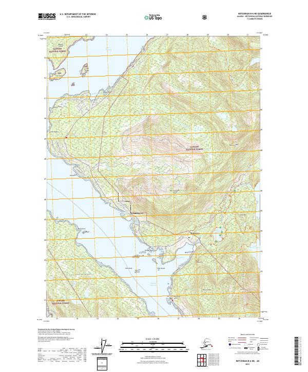
2021 Map of Ketchikan B-6 NE
USGS Topo · Published 2021About this map
Revillagigedo Island dominates this detailed maritime and forest landscape, showing the developed coastline northwest of Ketchikan. The infrastructure reflects a coastal community deeply tied to the water, with the North Tongass Highway and Revilla Highway providing the primary land arteries between settlements like Mud Bay and Ward Cove. Significant maritime features, including Danger Reef, Rosa Reef, and Pond Reef, highlight the navigational complexities of Tongass Narrows and Clover Passage.
Find a feature on this map
68 named features on this map. Tap any name to fly to it.
Don’t see what you’re looking for? This feature index may not catch every label — zoom into the map to look around manually.
Map Details
Editions of this 2021 Ketchikan B-6 NE Map
This is the sole edition of this map. No revisions or reprints were ever made.
Other maps of this area

1948 · Ketchikan C-5
USGS Topo · 1:63,360

1949 · Ketchikan C-6
USGS Topo · 1:63,360

1952 · Ketchikan
USGS Topo · 1:250,000

1952 · Ketchikan C-6
USGS Topo · 1:63,360

1953 · Ketchikan C-5
USGS Topo · 1:63,360

1953 · Ketchikan B-6
USGS Topo · 1:63,360

1954 · Ketchikan B-5
USGS Topo · 1:63,360

1954 · Ketchikan B-6
USGS Topo · 1:63,360

1955 · Ketchikan
USGS Topo · 1:250,000

1955 · Ketchikan B-5
USGS Topo · 1:63,360