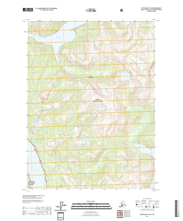
2021 Map of Ketchikan C-4 SW
USGS Topo · Published 2021About this map
Alexander Archipelago terrain defines this portion of the Tongass National Forest in southeastern Alaska. The landscape is marked by steep elevation changes and intricate waterways, notably the expansive Swan Lake in the north and the deep reach of Carroll Inlet along the western edge. This survey documents a wilderness primarily accessible via forest routes like the Twin Lakes 8446000 Road Trl, which services the high-elevation Twin Lakes.
Find a feature on this map
25 named features on this map. Tap any name to fly to it.
Don’t see what you’re looking for? This feature index may not catch every label — zoom into the map to look around manually.
Map Details
Editions of this 2021 Ketchikan C-4 SW Map
This is the sole edition of this map. No revisions or reprints were ever made.
Other maps of this area

1948 · Ketchikan C-5
USGS Topo · 1:63,360

1949 · Ketchikan B-4
USGS Topo · 1:63,360

1952 · Ketchikan
USGS Topo · 1:250,000

1952 · Ketchikan B-4
USGS Topo · 1:63,360

1952 · Ketchikan C-4
USGS Topo · 1:63,360

1953 · Ketchikan C-5
USGS Topo · 1:63,360

1954 · Ketchikan B-5
USGS Topo · 1:63,360

1955 · Ketchikan C-4
USGS Topo · 1:63,360

1955 · Ketchikan
USGS Topo · 1:250,000

1955 · Ketchikan B-5
USGS Topo · 1:63,360