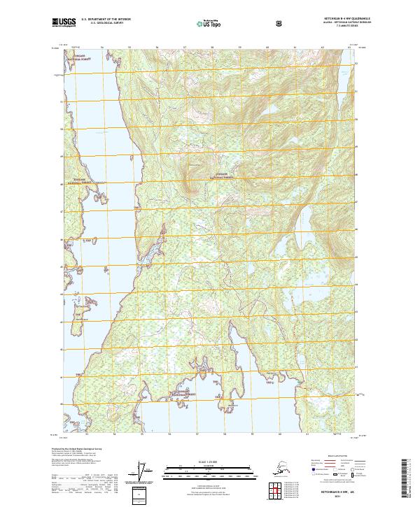
2021 Map of Ketchikan B-4 NW
USGS Topo · Published 2021About this map
Tongass National Forest dominates this coastal landscape in the Alexander Archipelago, where the waters of Carroll Inlet meet a labyrinth of coves and islands. The map highlights specialized maritime and communication infrastructure, including the Shoal Cove Field Station and a Loran Station complex situated near the shoreline. These facilities represent the critical navigational and research role this region plays in Southeast Alaskan waters. Inland, the terrain rises toward Painted Peak and the dual summits of Heart Hill North and Heart Hill South. A network of water bodies, such as Big Lake and Mirror Lake, are connected by various drainages like Fish Creek. To the south, the intricate coastline includes Coho Cove and the Minx Islands, while terrestrial movement is traced by the Mop Point Loop and the Gokachin Trl.
Find a feature on this map
42 named features on this map. Tap any name to fly to it.
Don’t see what you’re looking for? This feature index may not catch every label — zoom into the map to look around manually.
Map Details
Editions of this 2021 Ketchikan B-4 NW Map
This is the sole edition of this map. No revisions or reprints were ever made.
Other maps of this area

1948 · Ketchikan C-5
USGS Topo · 1:63,360

1949 · Ketchikan B-4
USGS Topo · 1:63,360

1952 · Ketchikan
USGS Topo · 1:250,000

1952 · Ketchikan B-4
USGS Topo · 1:63,360

1952 · Ketchikan C-4
USGS Topo · 1:63,360

1953 · Ketchikan C-5
USGS Topo · 1:63,360

1954 · Ketchikan B-5
USGS Topo · 1:63,360

1955 · Ketchikan C-4
USGS Topo · 1:63,360

1955 · Ketchikan
USGS Topo · 1:250,000

1955 · Ketchikan B-5
USGS Topo · 1:63,360