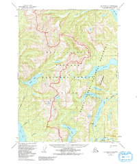
1955 Map of Ketchikan C-4
USGS Topo · Published 1992About this map
Revillagigedo Island dominates this mid-century topographic study, showcasing the dense network of interior lakes and glacial fjords in the heart of the Tongass National Forest. The map documents a landscape primarily defined by water and elevation, from the heights of Mt Reid to the tidal reaches of Carroll Inlet and Behm Canal. While the region is largely undeveloped, the mapping of remote outposts like Manzanita Camp Cabin, Beaver Camp Cabin, and a Shelter Cabin along Manzanita Lake provides critical evidence of the era's backcountry infrastructure.
Find a feature on this map
26 named features on this map. Tap any name to fly to it.
Don’t see what you’re looking for? This feature index may not catch every label — zoom into the map to look around manually.
Map Details
Editions of this 1955 Ketchikan C-4 Map
3 editions found

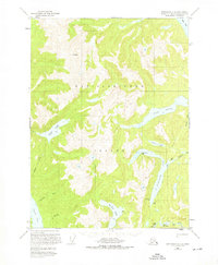
Other maps of this area

1948 · Ketchikan C-5
USGS Topo · 1:63,360

1949 · Ketchikan B-4
USGS Topo · 1:63,360

1952 · Ketchikan
USGS Topo · 1:250,000

1952 · Ketchikan B-4
USGS Topo · 1:63,360

1952 · Ketchikan C-4
USGS Topo · 1:63,360

1952 · Ketchikan D-5
USGS Topo · 1:63,360

1953 · Ketchikan C-5
USGS Topo · 1:63,360

1953 · Ketchikan D-5
USGS Topo · 1:63,360

1954 · Ketchikan B-5
USGS Topo · 1:63,360

1955 · Ketchikan C-3
USGS Topo · 1:63,360