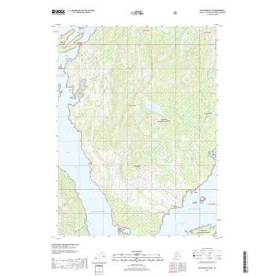
2017 Map of Ketchikan B-5 NE
USGS Topo · Published 2017About this map
The Alexander Archipelago dominates this coastal landscape within the Tongass National Forest, where steep terrain meets the complex waterways of the Gulf of Alaska. Deep coastal fjords like George Inlet and Carroll Inlet carve into the landmass, shaping a region defined by maritime access and high-elevation freshwater sources. To the south, Silvis Lake and Beaver Falls Cr mark a concentrated area of activity near the Tongass Highway.
Find a feature on this map
24 named features on this map. Tap any name to fly to it.
Don’t see what you’re looking for? This feature index may not catch every label — zoom into the map to look around manually.
Map Details
Editions of this 2017 Ketchikan B-5 NE Map
This is the sole edition of this map. No revisions or reprints were ever made.
Other maps of this area
1948 · Ketchikan C-5
USGS Topo · 1:63,360
1949 · Ketchikan B-4
USGS Topo · 1:63,360
1952 · Ketchikan
USGS Topo · 1:250,000
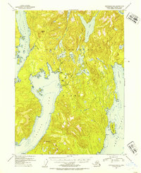
1952 · Ketchikan B-4
USGS Topo · 1:63,360
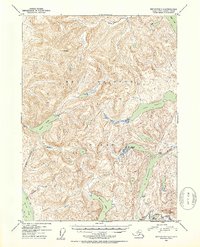
1952 · Ketchikan C-4
USGS Topo · 1:63,360
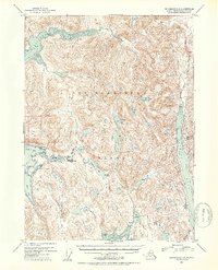
1953 · Ketchikan C-5
USGS Topo · 1:63,360
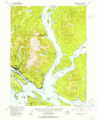
1954 · Ketchikan B-5
USGS Topo · 1:63,360
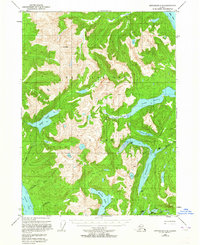
1955 · Ketchikan C-4
USGS Topo · 1:63,360
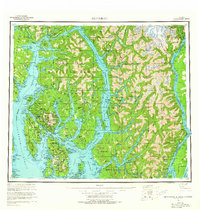
1955 · Ketchikan
USGS Topo · 1:250,000
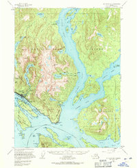
1955 · Ketchikan B-5
USGS Topo · 1:63,360