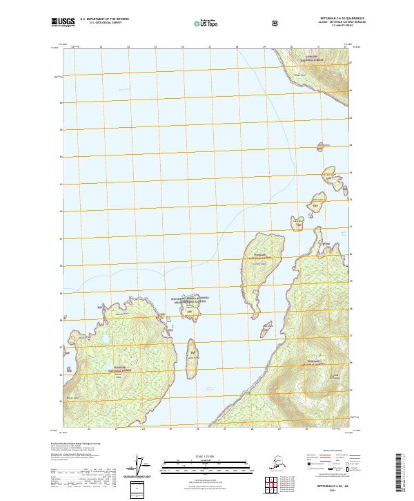
2021 Map of Ketchikan C-6 SE
USGS Topo · Published 2021About this map
Southeast Alaska Acoustic Measurement Facility on Back Island marks a unique intersection of military infrastructure and the maritime wilderness of the Alexander Archipelago. Located within the Tongass National Forest, this coastal environment is defined by a dense cluster of islands including Betton Island, Grant Island, and Hump Island. These landforms create protected waterways such as Clover Passage and Behm Canal. The presence of the North Tongass Highway on the eastern shore provides the primary land link to the mainland, while numerous points and heads, including Betton Head and Indian Point, suggest a landscape shaped by both glacial activity and modern navigation needs. Significant inlets like Moser Bay and Naha Bay further emphasize the complex coastline that has historically supported both indigenous travel and contemporary federal maritime activities.
Find a feature on this map
27 named features on this map. Tap any name to fly to it.
Don’t see what you’re looking for? This feature index may not catch every label — zoom into the map to look around manually.
Map Details
Editions of this 2021 Ketchikan C-6 SE Map
This is the sole edition of this map. No revisions or reprints were ever made.
Other maps of this area

1948 · Ketchikan C-5
USGS Topo · 1:63,360

1949 · Ketchikan C-6
USGS Topo · 1:63,360

1952 · Ketchikan
USGS Topo · 1:250,000

1952 · Ketchikan C-6
USGS Topo · 1:63,360

1953 · Ketchikan C-5
USGS Topo · 1:63,360

1953 · Ketchikan B-6
USGS Topo · 1:63,360

1954 · Ketchikan B-5
USGS Topo · 1:63,360

1954 · Ketchikan B-6
USGS Topo · 1:63,360

1955 · Ketchikan
USGS Topo · 1:250,000

1955 · Ketchikan B-5
USGS Topo · 1:63,360