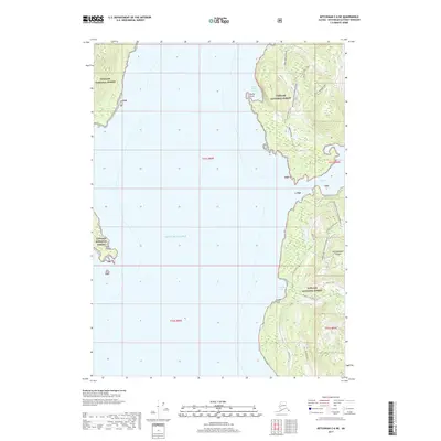
2017 Map of Ketchikan C-6 NE
USGS Topo · Published 2017About this map
Revillagigedo Island defines the eastern shoreline of this coastal survey, where the dense timber of the Tongass National Forest meets the open waters of the Gulf of Alaska. The landscape is marked by a series of protected inlets and prominent headlands, including the sheltered Bushy Point Cove and the aptly named Escape Point. This 2017 study illustrates the modern administrative management of the forest, detailing a network of service routes such as the Bushy 8060500 Road and the Traitors Cove Entrance 804030 road. Interior water features like Finger Lake and drainage systems such as Francis Cove Creek provide insight into the drainage patterns of this temperate rainforest environment. The map captures the intersection of maritime navigation points like Indian Point with the managed forest infrastructure that supports regional logging and conservation efforts.
Find a feature on this map
26 named features on this map. Tap any name to fly to it.
Don’t see what you’re looking for? This feature index may not catch every label — zoom into the map to look around manually.
Map Details
Editions of this 2017 Ketchikan C-6 NE Map
This is the sole edition of this map. No revisions or reprints were ever made.
Other maps of this area

1948 · Ketchikan C-5
USGS Topo · 1:63,360

1949 · Ketchikan C-6
USGS Topo · 1:63,360

1952 · Ketchikan
USGS Topo · 1:250,000

1952 · Ketchikan C-6
USGS Topo · 1:63,360

1952 · Ketchikan D-5
USGS Topo · 1:63,360

1952 · Ketchikan D-6
USGS Topo · 1:63,360

1953 · Ketchikan C-5
USGS Topo · 1:63,360

1953 · Ketchikan D-5
USGS Topo · 1:63,360

1953 · Ketchikan D-6
USGS Topo · 1:63,360

1955 · Ketchikan
USGS Topo · 1:250,000