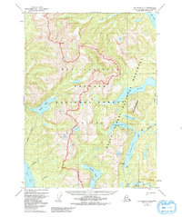
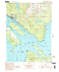
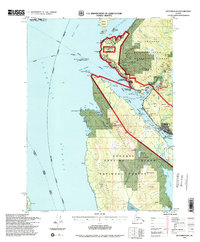
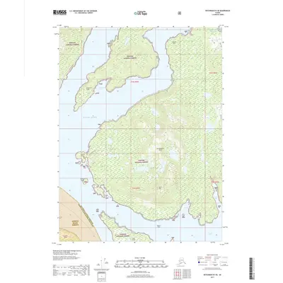
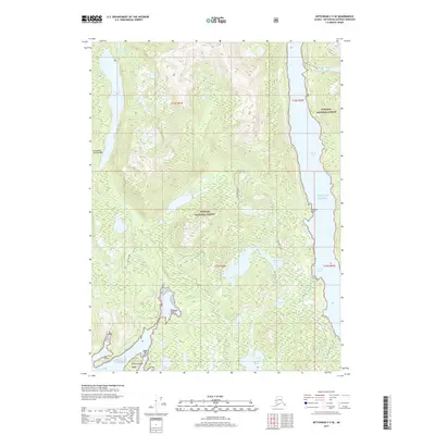
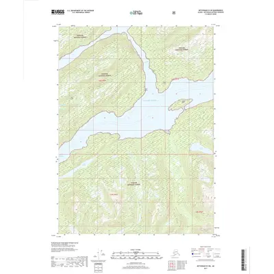
1949 Map of Ketchikan B-4
USGS Topo · Published 1974About this map
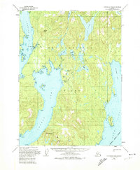
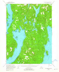
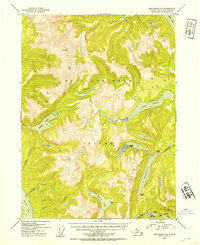
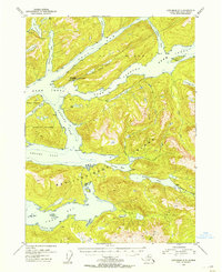
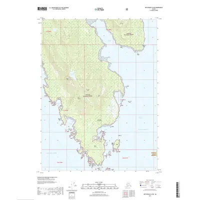
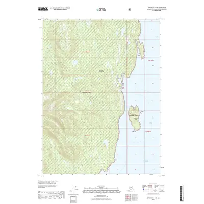
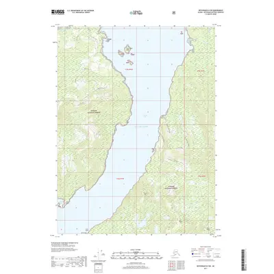
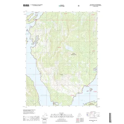
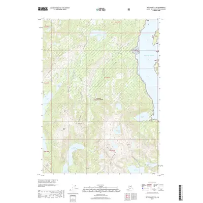
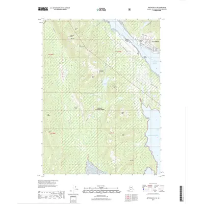
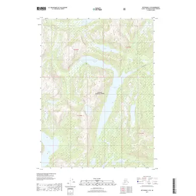
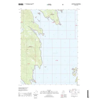
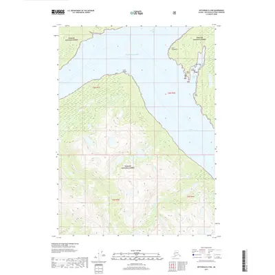
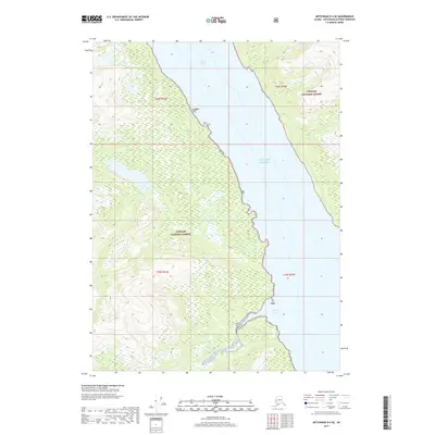
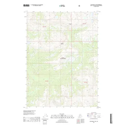
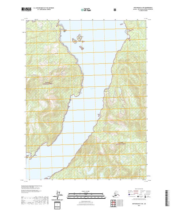
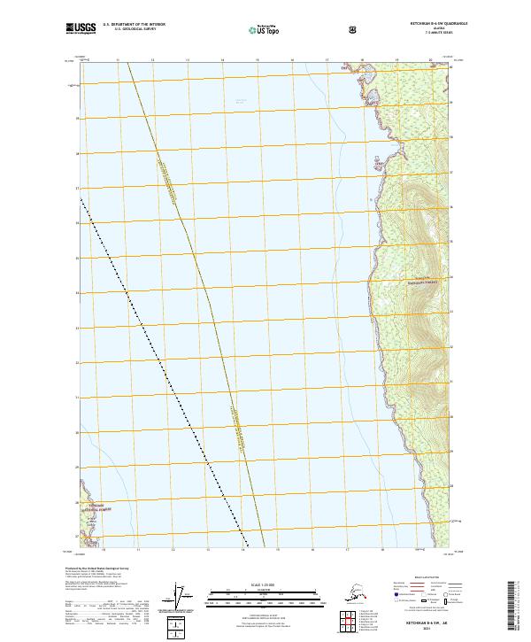
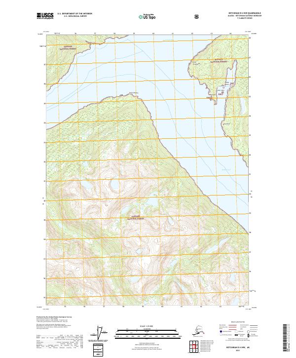
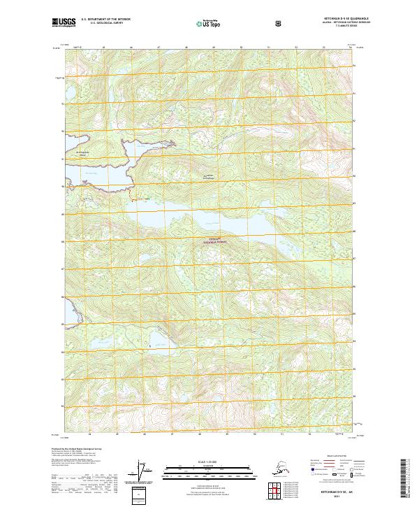
Revillagigedo island terrain dominates this mid-century coastal survey, characterized by the deep, narrow fjords typical of the Tongass National Forest. The map documents the industrial traces of the era, specifically the Sealevel Mine (Aband) located near the shore of Thorne Arm. A network of large freshwater bodies like Ella Lake and the Gokachin Lakes are connected by short, steep drainages such as Gokachin Creek, illustrating the difficult overland travel of the region. Maritime activity is anchored at the Seaplane Base on Carroll Inlet, while various cabins dot the remote northern lakeshores. The topography is defined by prominent coastal summits like Painted Peak and Notch Mtn, which served as critical landmarks for navigating the complex waterways of the Behm Canal and Princess Bay.
Find a feature on this map
48 named features on this map. Tap any name to fly to it.
Don’t see what you’re looking for? This feature index may not catch every label — zoom into the map to look around manually.
Map Details
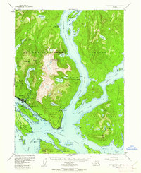
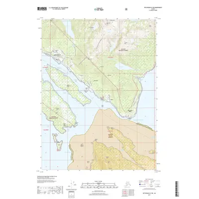
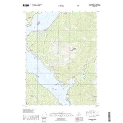
Editions of this 1949 Ketchikan B-4 Map
2 editions found
Historical Maps of Ketchikan Gateway Through Time
85 maps found
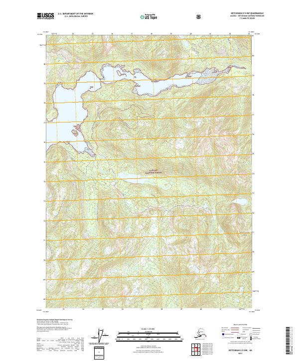
1948 Ketchikan C-5
Ketchikan Gateway Borough, AK
1949 Ketchikan B-4
Ketchikan Gateway Borough, AK
1952 Ketchikan B-4
Ketchikan Gateway Borough, AK
1952 Ketchikan C-4
Ketchikan Gateway Borough, AK
1952 Ketchikan D-5
Ketchikan Gateway Borough, AK
1953 Ketchikan B-6
Ketchikan Gateway Borough, AK
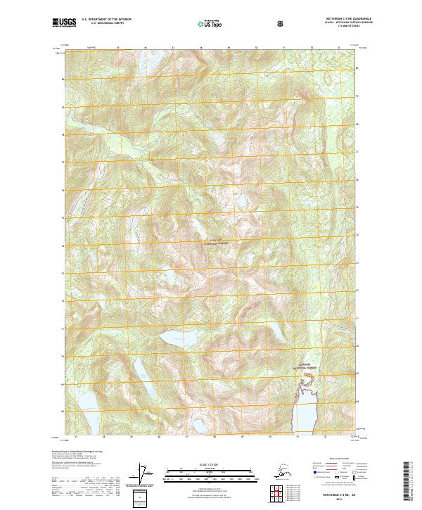
1953 Ketchikan C-5
Ketchikan Gateway Borough, AK
1953 Ketchikan D-5
Ketchikan Gateway Borough, AK
1954 Ketchikan B-5
Ketchikan Gateway Borough, AK
1954 Ketchikan B-6
Ketchikan Gateway Borough, AK
1955 Ketchikan B-5
Ketchikan Gateway Borough, AK
1955 Ketchikan C-4
Ketchikan Gateway Borough, AK
1955 Ketchikan D-4
Ketchikan Gateway Borough, AK
1962 Ketchikan D-4
Ketchikan Gateway Borough, AK
1991 Ketchikan B-5 NW
Ketchikan Gateway Borough, AK
1991 Ketchikan B-5 SW
Ketchikan Gateway Borough, AK
1991 Ketchikan B-6 NE
Ketchikan Gateway Borough, AK
1991 Ketchikan B-6 SE
Ketchikan Gateway Borough, AK
1994 Ketchikan B-5
Ketchikan Gateway Borough, AK
1994 Ketchikan B-6
Ketchikan Gateway Borough, AK
1995 Ketchikan B-4
Ketchikan Gateway Borough, AK
1995 Ketchikan C-4
Ketchikan Gateway Borough, AK
1996 Ketchikan D-4
Ketchikan Gateway Borough, AK
2017 Ketchikan A-6 NE
Ketchikan Gateway Borough, AK
2017 Ketchikan A-6 SE
Ketchikan Gateway Borough, AK
2017 Ketchikan B-4 NE
Ketchikan Gateway Borough, AK
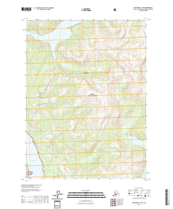
2017 Ketchikan B-4 NW
Ketchikan Gateway Borough, AK
2017 Ketchikan B-4 SE
Ketchikan Gateway Borough, AK
2017 Ketchikan B-4 SW
Ketchikan Gateway Borough, AK
2017 Ketchikan B-5 NE
Ketchikan Gateway Borough, AK
2017 Ketchikan B-5 NW
Ketchikan Gateway Borough, AK
2017 Ketchikan B-5 SE
Ketchikan Gateway Borough, AK
2017 Ketchikan B-5 SW
Ketchikan Gateway Borough, AK
2017 Ketchikan B-6 NE
Ketchikan Gateway Borough, AK
2017 Ketchikan B-6 NW
Ketchikan Gateway Borough, AK
2017 Ketchikan B-6 SE
Ketchikan Gateway Borough, AK
2017 Ketchikan B-6 SW
Ketchikan Gateway Borough, AK
2017 Ketchikan C-4 NE
Ketchikan Gateway Borough, AK
2017 Ketchikan C-4 NW
Ketchikan Gateway Borough, AK
2017 Ketchikan C-4 SE
Ketchikan Gateway Borough, AK
2017 Ketchikan C-4 SW
Ketchikan Gateway Borough, AK
2017 Ketchikan C-5 NE
Ketchikan Gateway Borough, AK
2017 Ketchikan C-5 NW
Ketchikan Gateway Borough, AK
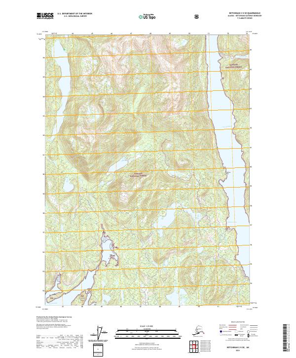
2017 Ketchikan C-5 SE
Ketchikan Gateway Borough, AK
2017 Ketchikan C-5 SW
Ketchikan Gateway Borough, AK
2017 Ketchikan C-6 NE
Ketchikan Gateway Borough, AK
2017 Ketchikan C-6 SE
Ketchikan Gateway Borough, AK
2017 Ketchikan C-6 SW
Ketchikan Gateway Borough, AK
2017 Ketchikan D-4 NW
Ketchikan Gateway Borough, AK
2017 Ketchikan D-4 SE
Ketchikan Gateway Borough, AK
2017 Ketchikan D-4 SW
Ketchikan Gateway Borough, AK
2017 Ketchikan D-5 NE
Ketchikan Gateway Borough, AK
2017 Ketchikan D-5 SE
Ketchikan Gateway Borough, AK
2017 Ketchikan D-5 SW
Ketchikan Gateway Borough, AK
2021 Ketchikan A-6 NE
Ketchikan Gateway Borough, AK
2021 Ketchikan A-6 SE
Ketchikan Gateway Borough, AK
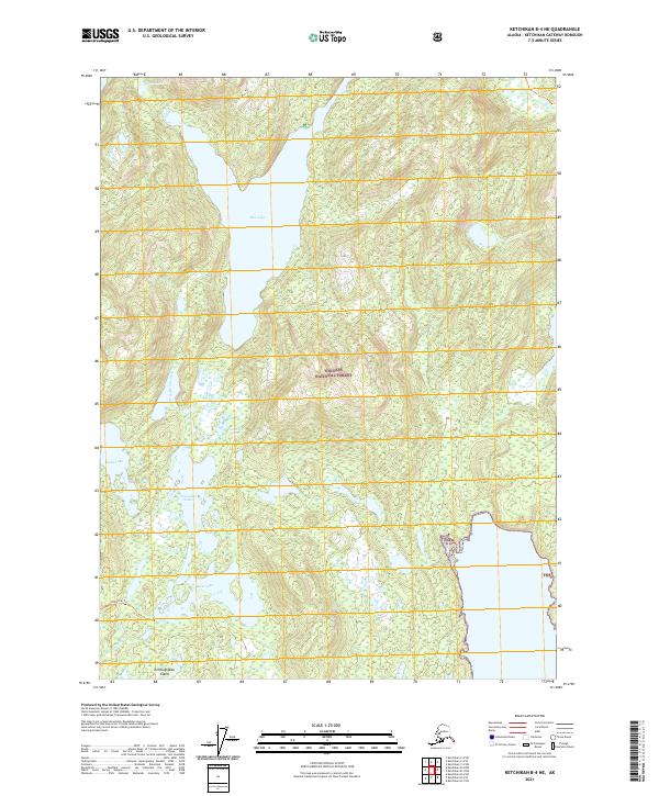
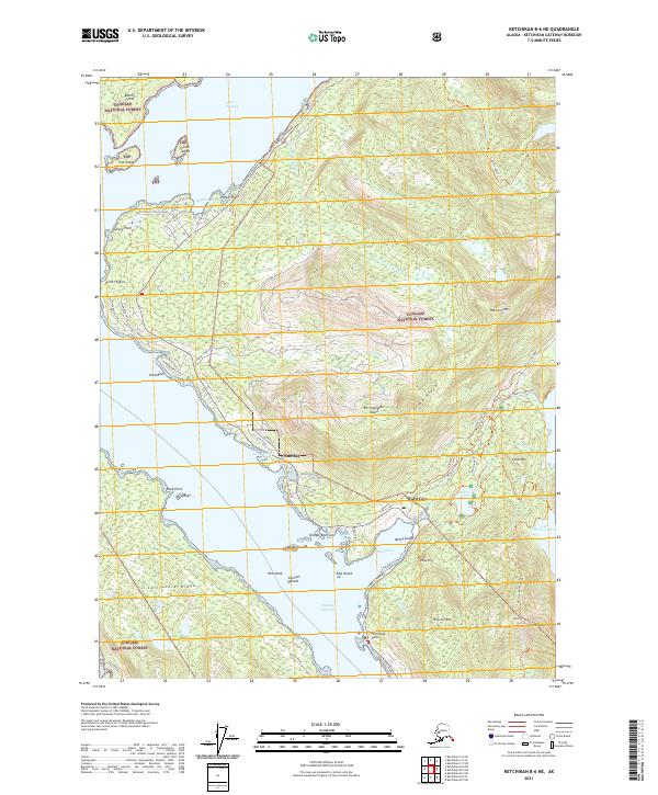
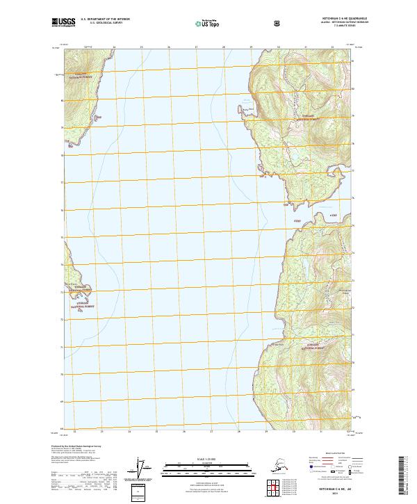
2021 Ketchikan B-4 NE
Ketchikan Gateway Borough, AK
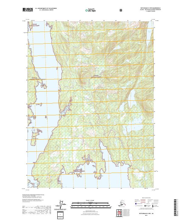
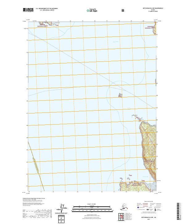
2021 Ketchikan B-4 NW
Ketchikan Gateway Borough, AK
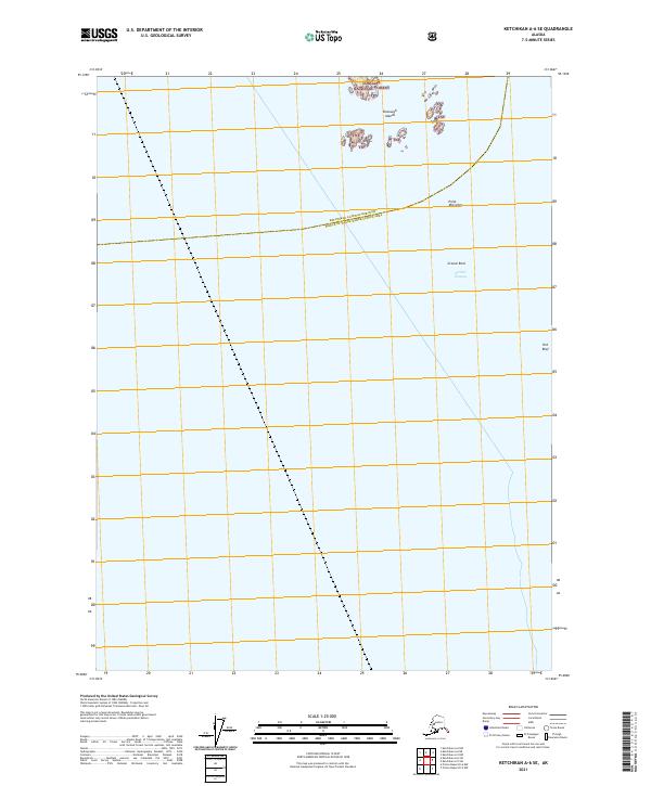
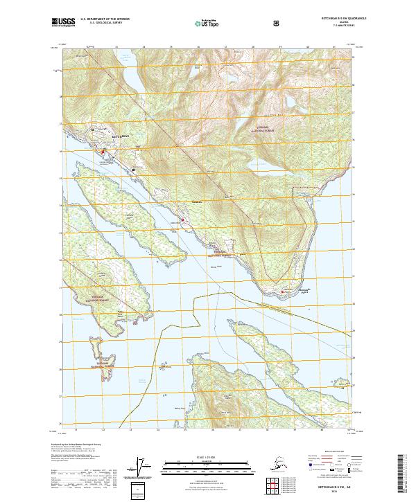
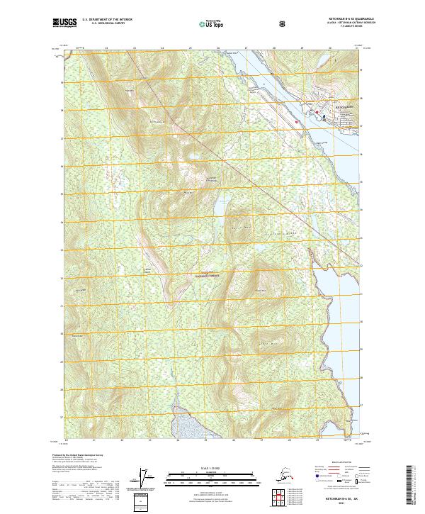
2021 Ketchikan B-4 SE
Ketchikan Gateway Borough, AK
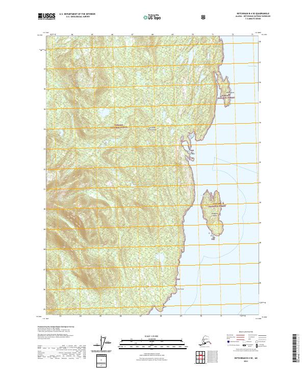
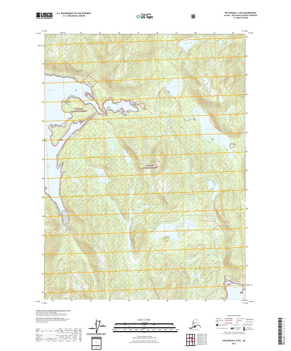
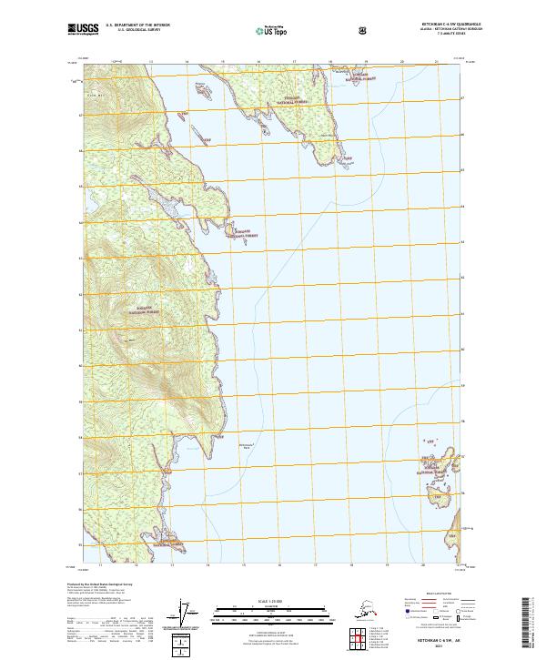
2021 Ketchikan B-4 SW
Ketchikan Gateway Borough, AK
2021 Ketchikan B-5 NE
Ketchikan Gateway Borough, AK
2021 Ketchikan B-5 NW
Ketchikan Gateway Borough, AK
2021 Ketchikan B-5 SE
Ketchikan Gateway Borough, AK
2021 Ketchikan B-5 SW
Ketchikan Gateway Borough, AK
2021 Ketchikan B-6 NE
Ketchikan Gateway Borough, AK
2021 Ketchikan B-6 NW
Ketchikan Gateway Borough, AK
2021 Ketchikan B-6 SE
Ketchikan Gateway Borough, AK
2021 Ketchikan B-6 SW
Ketchikan Gateway Borough, AK
2021 Ketchikan C-4 NE
Ketchikan Gateway Borough, AK
2021 Ketchikan C-4 NW
Ketchikan Gateway Borough, AK
2021 Ketchikan C-4 SE
Ketchikan Gateway Borough, AK
2021 Ketchikan C-4 SW
Ketchikan Gateway Borough, AK
2021 Ketchikan C-5 NE
Ketchikan Gateway Borough, AK
2021 Ketchikan C-5 NW
Ketchikan Gateway Borough, AK
2021 Ketchikan C-5 SE
Ketchikan Gateway Borough, AK
2021 Ketchikan C-5 SW
Ketchikan Gateway Borough, AK
2021 Ketchikan C-6 NE
Ketchikan Gateway Borough, AK
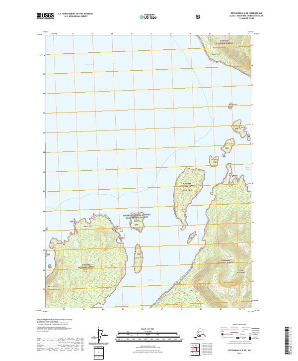
2021 Ketchikan C-6 SE
Ketchikan Gateway Borough, AK
2021 Ketchikan C-6 SW
Ketchikan Gateway Borough, AK
2021 Ketchikan D-4 NW
Ketchikan Gateway Borough, AK
2021 Ketchikan D-4 SE
Ketchikan Gateway Borough, AK
2021 Ketchikan D-4 SW
Ketchikan Gateway Borough, AK
2021 Ketchikan D-5 NE
Ketchikan Gateway Borough, AK
2021 Ketchikan D-5 SE
Ketchikan Gateway Borough, AK
2021 Ketchikan D-5 SW
Ketchikan Gateway Borough, AK