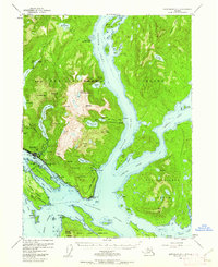
1954 Map of Ketchikan B-5
USGS Topo · Published 1962About this map
Revillagigedo Island dominates this mid-century survey, centering on the burgeoning city of Ketchikan and its vital maritime connections. The map details a landscape defined by industry and infrastructure during Alaska's late territorial period, showing the U.S. Coast Guard Station, a Sawmill, and a Cannery that anchored the local economy. Coastal life is evidenced by the complex waterways of Tongass Narrows and George Inlet, where navigation aids like the Radio Tower (KABI) and various lights guided vessels into Ketchikan Harbor.
Find a feature on this map
105 named features on this map. Tap any name to fly to it.
Don’t see what you’re looking for? This feature index may not catch every label — zoom into the map to look around manually.
Map Details
Editions of this 1954 Ketchikan B-5 Map
2 editions found

Other maps of this area

1948 · Ketchikan A-6
USGS Topo · 1:63,360

1948 · Ketchikan C-5
USGS Topo · 1:63,360

1949 · Ketchikan C-6
USGS Topo · 1:63,360

1949 · Ketchikan B-4
USGS Topo · 1:63,360

1952 · Ketchikan
USGS Topo · 1:250,000

1952 · Ketchikan B-4
USGS Topo · 1:63,360

1952 · Ketchikan C-4
USGS Topo · 1:63,360

1952 · Ketchikan C-6
USGS Topo · 1:63,360

1953 · Ketchikan C-5
USGS Topo · 1:63,360

1953 · Ketchikan B-6
USGS Topo · 1:63,360