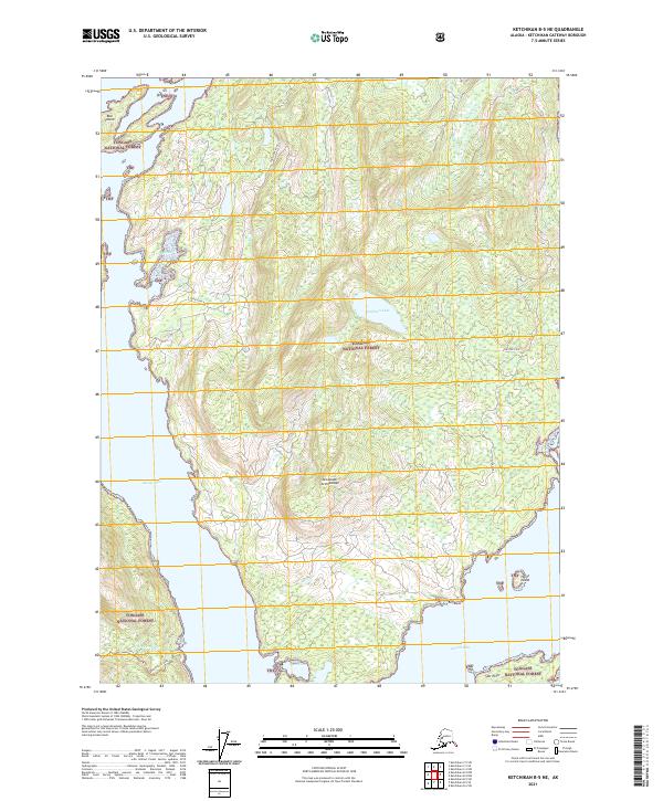
2021 Map of Ketchikan B-5 NE
USGS Topo · Published 2021About this map
George Inlet and Carroll Inlet define the coastal character of this portion of the Alexander Archipelago, where the land is dominated by the sprawling Tongass National Forest. The map documents a landscape of steep timbered slopes and narrow waterways, connected by isolated corridors such as Coon Cove Road and Shelter Cove Road. These routes provide access to interior features like Buckhorn Lake and the drainage of Gunsight Cr. Along the shoreline, small islands and coastal points including Bull Island, Hume Island, and Spit Point mark the transition from the protected forest interior to the saltwater channels. For researchers, the inclusion of the Silvis Lake Trl and Beaver Falls Road in the southwest corner illustrates the limited but vital infrastructure serving this maritime wilderness.
Find a feature on this map
23 named features on this map. Tap any name to fly to it.
Don’t see what you’re looking for? This feature index may not catch every label — zoom into the map to look around manually.
Map Details
Editions of this 2021 Ketchikan B-5 NE Map
This is the sole edition of this map. No revisions or reprints were ever made.
Other maps of this area

1948 · Ketchikan C-5
USGS Topo · 1:63,360

1949 · Ketchikan B-4
USGS Topo · 1:63,360

1952 · Ketchikan
USGS Topo · 1:250,000

1952 · Ketchikan B-4
USGS Topo · 1:63,360

1952 · Ketchikan C-4
USGS Topo · 1:63,360

1953 · Ketchikan C-5
USGS Topo · 1:63,360

1954 · Ketchikan B-5
USGS Topo · 1:63,360

1955 · Ketchikan C-4
USGS Topo · 1:63,360

1955 · Ketchikan
USGS Topo · 1:250,000

1955 · Ketchikan B-5
USGS Topo · 1:63,360