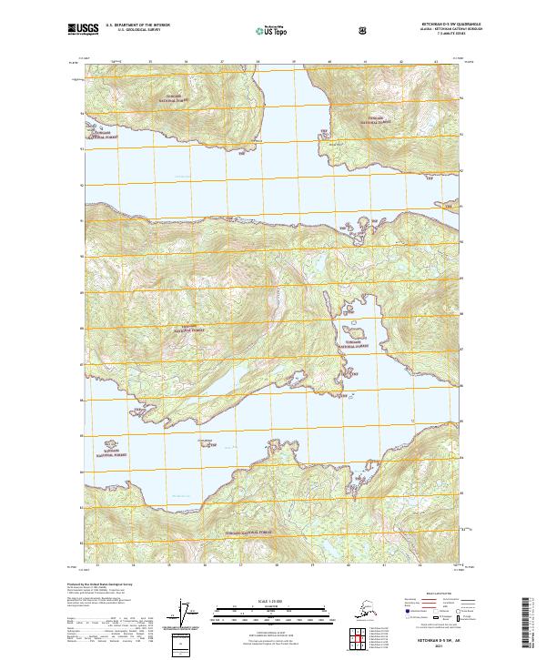
2021 Map of Ketchikan D-5 SW
USGS Topo · Published 2021About this map
Tongass National Forest dominates this coastal landscape, where the intricate waterways of Southeast Alaska carve through the terrain. The sheet highlights the maritime navigation routes through Gedney Pass and the Behm Canal, punctuated by small landforms like Gedney Island and Bug Island. While much of the area is defined by its shoreline, human activity is evident in the specialized infrastructure surrounding Neets Bay.
Find a feature on this map
22 named features on this map. Tap any name to fly to it.
Don’t see what you’re looking for? This feature index may not catch every label — zoom into the map to look around manually.
Map Details
Editions of this 2021 Ketchikan D-5 SW Map
This is the sole edition of this map. No revisions or reprints were ever made.
Other maps of this area

1948 · Ketchikan C-5
USGS Topo · 1:63,360

1949 · Ketchikan C-6
USGS Topo · 1:63,360

1952 · Ketchikan
USGS Topo · 1:250,000

1952 · Ketchikan C-6
USGS Topo · 1:63,360

1952 · Ketchikan D-5
USGS Topo · 1:63,360

1952 · Ketchikan D-6
USGS Topo · 1:63,360

1953 · Ketchikan C-5
USGS Topo · 1:63,360

1953 · Ketchikan D-5
USGS Topo · 1:63,360

1953 · Ketchikan D-6
USGS Topo · 1:63,360

1955 · Ketchikan
USGS Topo · 1:250,000