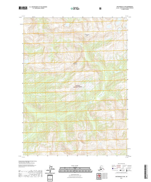
2021 Map of Ketchikan D-4 SW
USGS Topo · Published 2021About this map
Revillagigedo Island defines the coastal character of this portion of the Alexander Archipelago, where the land is almost entirely managed as part of the Tongass National Forest. The landscape is dominated by high-relief terrain and a network of drainages including Orchard Cr and Cow Cr. This survey illustrates the intricate topography and complex hydrography characteristic of Southeast Alaska's island systems. The absence of roads or established settlements emphasizes the wilderness state of the region, which is meticulously divided by the Public Land Survey System into townships such as t69s r92e and t70s r93e. For researchers and historians, the map provides a baseline for understanding the unchanged natural boundaries and forest conservation efforts on the island.
Find a feature on this map
9 named features on this map. Tap any name to fly to it.
Don’t see what you’re looking for? This feature index may not catch every label — zoom into the map to look around manually.
Map Details
Editions of this 2021 Ketchikan D-4 SW Map
This is the sole edition of this map. No revisions or reprints were ever made.
Other maps of this area

1948 · Ketchikan C-5
USGS Topo · 1:63,360

1952 · Ketchikan
USGS Topo · 1:250,000

1952 · Ketchikan C-4
USGS Topo · 1:63,360

1952 · Ketchikan D-5
USGS Topo · 1:63,360

1953 · Ketchikan C-5
USGS Topo · 1:63,360

1953 · Ketchikan D-5
USGS Topo · 1:63,360

1955 · Ketchikan D-4
USGS Topo · 1:63,360

1955 · Ketchikan C-4
USGS Topo · 1:63,360

1955 · Ketchikan
USGS Topo · 1:250,000
1962 · Ketchikan D-4
USGS Topo · 1:63,360