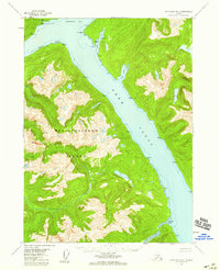
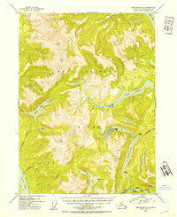
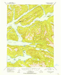
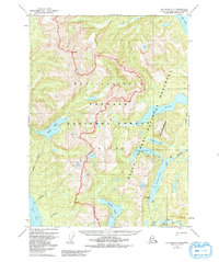
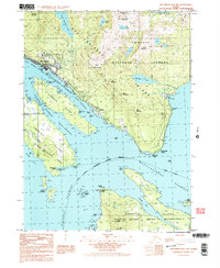
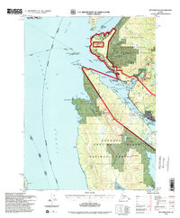
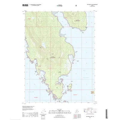
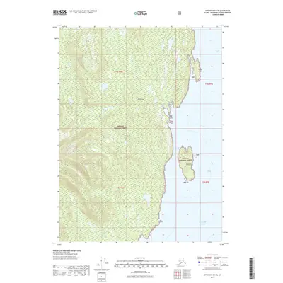
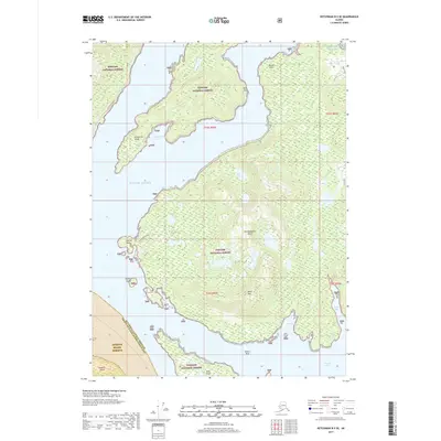
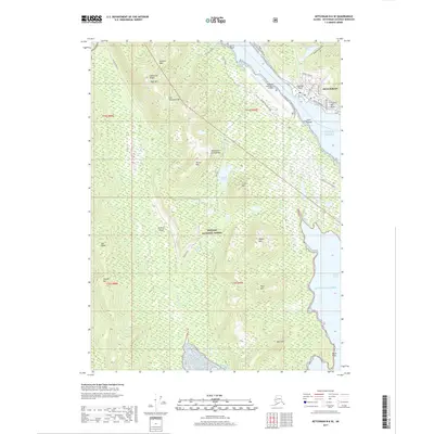
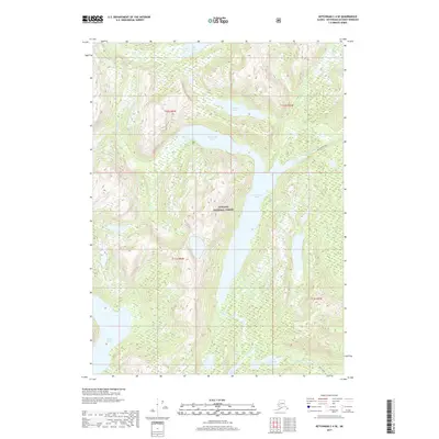
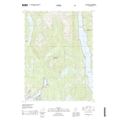
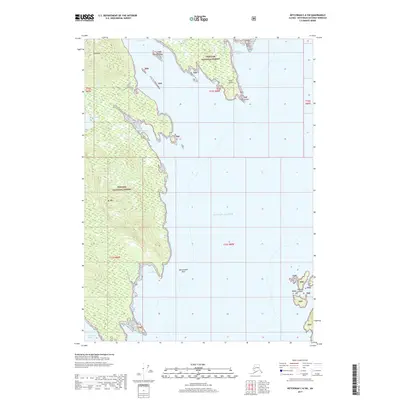
1955 Map of Ketchikan D-4
USGS Topo · Published 1959About this map
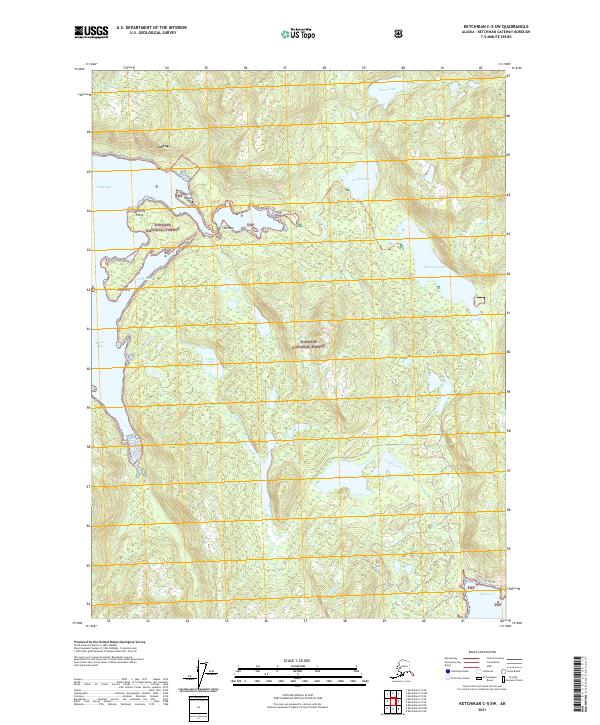
Revillagigedo Island dominates the landscape of this mid-century survey, its mountainous terrain etched with deep glacial carvings and drainages like Orchard Creek and Cow Creek. The waters of the Behm Canal serve as the central maritime corridor, flanked by protected anchorages including Fitzgibbon Cove and Saks Cove. A lone Cabin near Burroughs Bay suggests the sparse human footprint in this wilderness area, which is entirely contained within the Tongass National Forest.
Find a feature on this map
28 named features on this map. Tap any name to fly to it.
Don’t see what you’re looking for? This feature index may not catch every label — zoom into the map to look around manually.
Map Details
Editions of this 1955 Ketchikan D-4 Map
2 editions found
Historical Maps of Ketchikan Gateway Through Time
85 maps found
1948 Ketchikan C-5
Ketchikan Gateway Borough, AK
1949 Ketchikan B-4
Ketchikan Gateway Borough, AK
1952 Ketchikan B-4
Ketchikan Gateway Borough, AK
1952 Ketchikan C-4
Ketchikan Gateway Borough, AK
1952 Ketchikan D-5
Ketchikan Gateway Borough, AK
1953 Ketchikan B-6
Ketchikan Gateway Borough, AK
1953 Ketchikan C-5
Ketchikan Gateway Borough, AK
1953 Ketchikan D-5
Ketchikan Gateway Borough, AK
1954 Ketchikan B-5
Ketchikan Gateway Borough, AK
1954 Ketchikan B-6
Ketchikan Gateway Borough, AK
1955 Ketchikan B-5
Ketchikan Gateway Borough, AK
1955 Ketchikan C-4
Ketchikan Gateway Borough, AK
1955 Ketchikan D-4
Ketchikan Gateway Borough, AK
1962 Ketchikan D-4
Ketchikan Gateway Borough, AK
1991 Ketchikan B-5 NW
Ketchikan Gateway Borough, AK
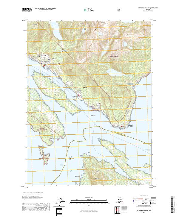
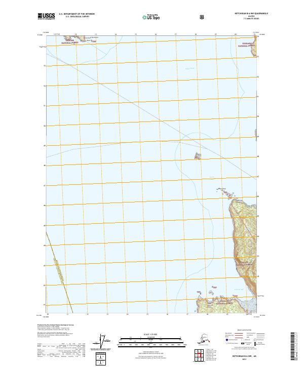
1991 Ketchikan B-5 SW
Ketchikan Gateway Borough, AK
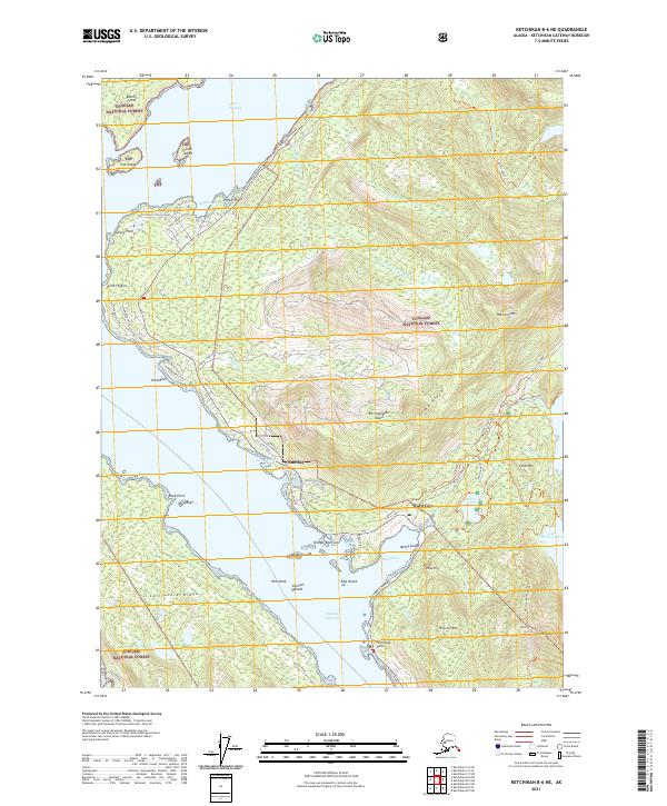
1991 Ketchikan B-6 NE
Ketchikan Gateway Borough, AK
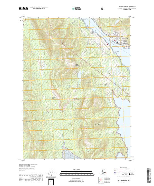
1991 Ketchikan B-6 SE
Ketchikan Gateway Borough, AK
1994 Ketchikan B-5
Ketchikan Gateway Borough, AK
1994 Ketchikan B-6
Ketchikan Gateway Borough, AK
1995 Ketchikan B-4
Ketchikan Gateway Borough, AK
1995 Ketchikan C-4
Ketchikan Gateway Borough, AK
1996 Ketchikan D-4
Ketchikan Gateway Borough, AK
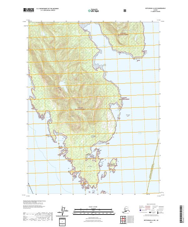
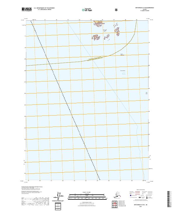
2017 Ketchikan A-6 NE
Ketchikan Gateway Borough, AK
2017 Ketchikan A-6 SE
Ketchikan Gateway Borough, AK
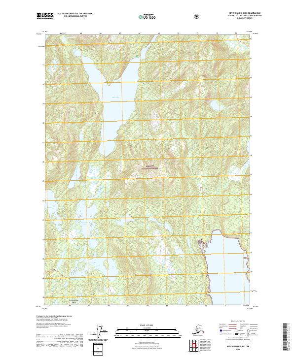
2017 Ketchikan B-4 NE
Ketchikan Gateway Borough, AK
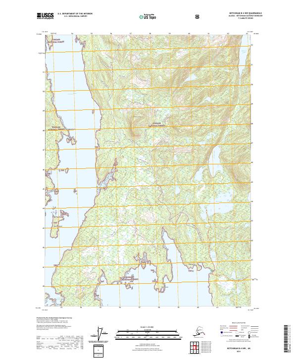
2017 Ketchikan B-4 NW
Ketchikan Gateway Borough, AK
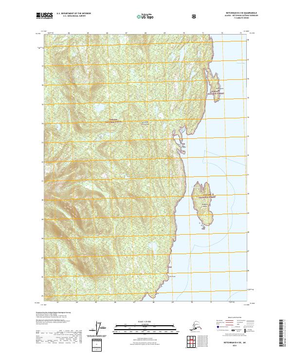
2017 Ketchikan B-4 SE
Ketchikan Gateway Borough, AK
2017 Ketchikan B-4 SW
Ketchikan Gateway Borough, AK
2017 Ketchikan B-5 NE
Ketchikan Gateway Borough, AK
2017 Ketchikan B-5 NW
Ketchikan Gateway Borough, AK
2017 Ketchikan B-5 SE
Ketchikan Gateway Borough, AK
2017 Ketchikan B-5 SW
Ketchikan Gateway Borough, AK
2017 Ketchikan B-6 NE
Ketchikan Gateway Borough, AK
2017 Ketchikan B-6 NW
Ketchikan Gateway Borough, AK
2017 Ketchikan B-6 SE
Ketchikan Gateway Borough, AK
2017 Ketchikan B-6 SW
Ketchikan Gateway Borough, AK
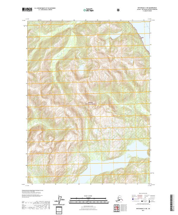
2017 Ketchikan C-4 NE
Ketchikan Gateway Borough, AK
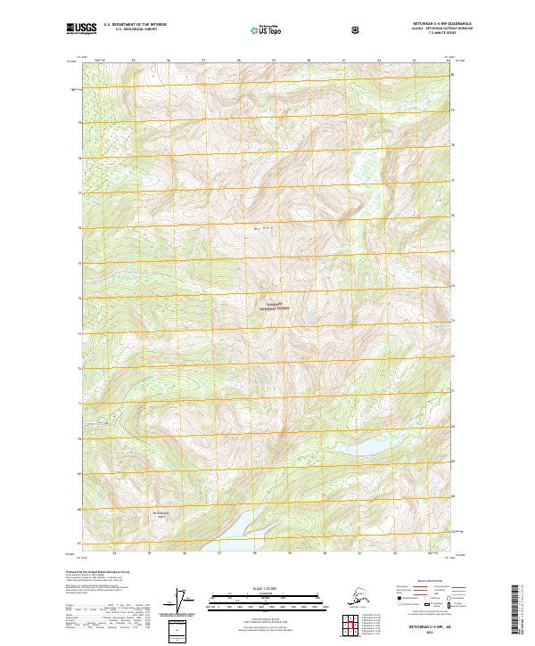
2017 Ketchikan C-4 NW
Ketchikan Gateway Borough, AK
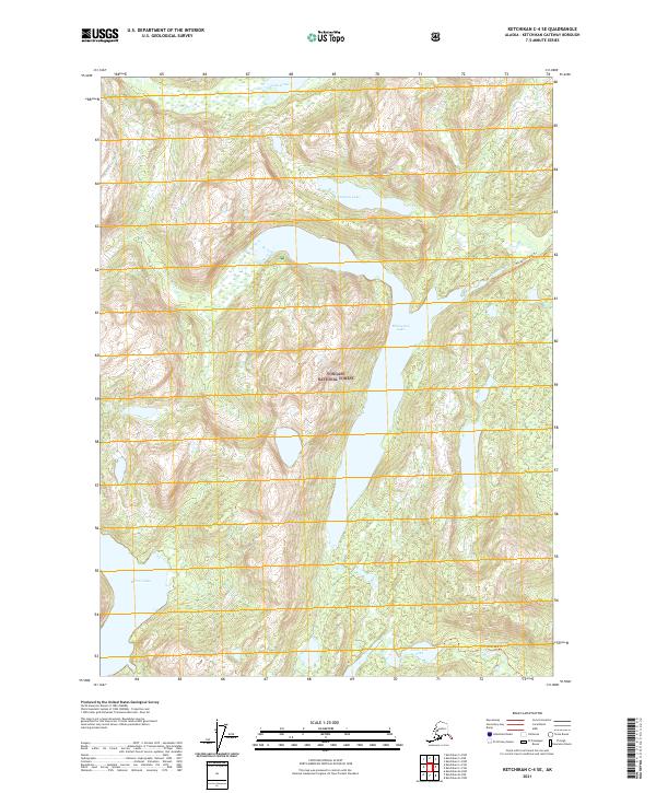
2017 Ketchikan C-4 SE
Ketchikan Gateway Borough, AK
2017 Ketchikan C-4 SW
Ketchikan Gateway Borough, AK
2017 Ketchikan C-5 NE
Ketchikan Gateway Borough, AK
2017 Ketchikan C-5 NW
Ketchikan Gateway Borough, AK
2017 Ketchikan C-5 SE
Ketchikan Gateway Borough, AK
2017 Ketchikan C-5 SW
Ketchikan Gateway Borough, AK
2017 Ketchikan C-6 NE
Ketchikan Gateway Borough, AK
2017 Ketchikan C-6 SE
Ketchikan Gateway Borough, AK
2017 Ketchikan C-6 SW
Ketchikan Gateway Borough, AK
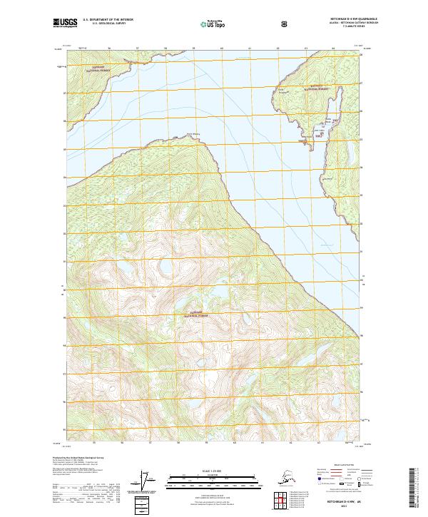
2017 Ketchikan D-4 NW
Ketchikan Gateway Borough, AK
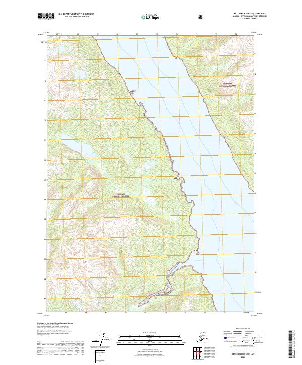
2017 Ketchikan D-4 SE
Ketchikan Gateway Borough, AK
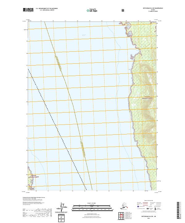
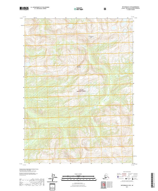
2017 Ketchikan D-4 SW
Ketchikan Gateway Borough, AK
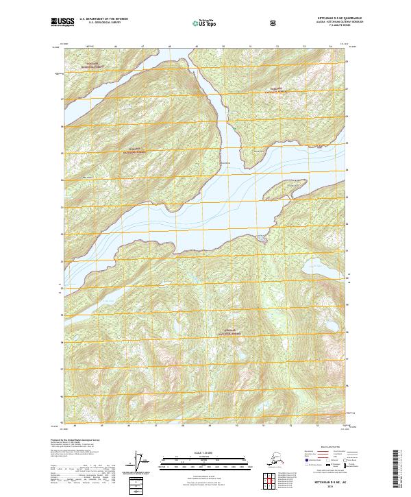
2017 Ketchikan D-5 NE
Ketchikan Gateway Borough, AK
2017 Ketchikan D-5 SE
Ketchikan Gateway Borough, AK
2017 Ketchikan D-5 SW
Ketchikan Gateway Borough, AK
2021 Ketchikan A-6 NE
Ketchikan Gateway Borough, AK
2021 Ketchikan A-6 SE
Ketchikan Gateway Borough, AK
2021 Ketchikan B-4 NE
Ketchikan Gateway Borough, AK
2021 Ketchikan B-4 NW
Ketchikan Gateway Borough, AK
2021 Ketchikan B-4 SE
Ketchikan Gateway Borough, AK
2021 Ketchikan B-4 SW
Ketchikan Gateway Borough, AK
2021 Ketchikan B-5 NE
Ketchikan Gateway Borough, AK
2021 Ketchikan B-5 NW
Ketchikan Gateway Borough, AK
2021 Ketchikan B-5 SE
Ketchikan Gateway Borough, AK
2021 Ketchikan B-5 SW
Ketchikan Gateway Borough, AK
2021 Ketchikan B-6 NE
Ketchikan Gateway Borough, AK
2021 Ketchikan B-6 NW
Ketchikan Gateway Borough, AK
2021 Ketchikan B-6 SE
Ketchikan Gateway Borough, AK
2021 Ketchikan B-6 SW
Ketchikan Gateway Borough, AK
2021 Ketchikan C-4 NE
Ketchikan Gateway Borough, AK
2021 Ketchikan C-4 NW
Ketchikan Gateway Borough, AK
2021 Ketchikan C-4 SE
Ketchikan Gateway Borough, AK
2021 Ketchikan C-4 SW
Ketchikan Gateway Borough, AK
2021 Ketchikan C-5 NE
Ketchikan Gateway Borough, AK
2021 Ketchikan C-5 NW
Ketchikan Gateway Borough, AK
2021 Ketchikan C-5 SE
Ketchikan Gateway Borough, AK
2021 Ketchikan C-5 SW
Ketchikan Gateway Borough, AK
2021 Ketchikan C-6 NE
Ketchikan Gateway Borough, AK
2021 Ketchikan C-6 SE
Ketchikan Gateway Borough, AK
2021 Ketchikan C-6 SW
Ketchikan Gateway Borough, AK
2021 Ketchikan D-4 NW
Ketchikan Gateway Borough, AK
2021 Ketchikan D-4 SE
Ketchikan Gateway Borough, AK
2021 Ketchikan D-4 SW
Ketchikan Gateway Borough, AK
2021 Ketchikan D-5 NE
Ketchikan Gateway Borough, AK
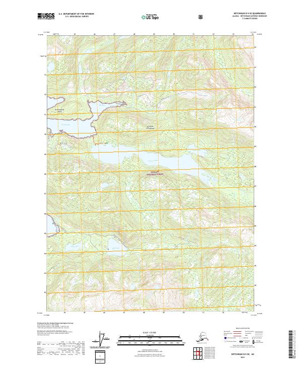
2021 Ketchikan D-5 SE
Ketchikan Gateway Borough, AK
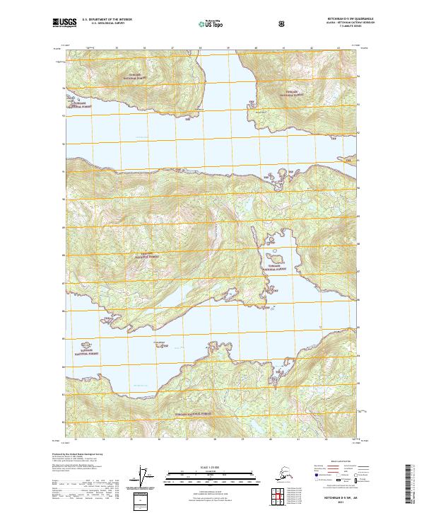
2021 Ketchikan D-5 SW
Ketchikan Gateway Borough, AK